


For 7000 ft. to 8000 ft.
| Friday | Friday Night | Saturday | |
|---|---|---|---|
| Weather: | Sunny | Clear | Sunny |
| Temperatures: | 48 to 53 deg. F. | 26 to 33 deg. F. | 50 to 55 deg. F. |
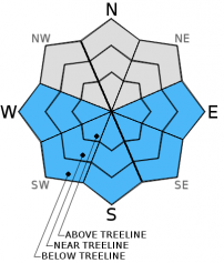
| Mid Slope Winds: | East | Variable | Variable |
| Wind Speed: | 10 to 15 mph becoming light in the afternoon | Light | Light |
| Expected snowfall: | 0 | 0 | 0 |
For 8000 ft. to 9000 ft.
| Friday | Friday Night | Saturday | |
|---|---|---|---|
| Weather: | Sunny | Clear | Sunny |
| Temperatures: | 42 to 48 deg. F. | 24 to 31 deg. F. | 44 to 50 deg. F. |
| Ridge Top Winds: | East | East | East |
| Wind Speed: | 10 to 15 mph becoming light in the afternoon | up to 10 mph | up to 10 mph |
| Expected snowfall: | 0 | 0 | 0 |


