


For 7000 ft. to 8000 ft.
| Tuesday | Tuesday Night | Wednesday | |
|---|---|---|---|
| Weather: | Cloudy. Snow and rain. | Cloudy. Snow and rain likely in the night, then chance of snow after midnight. | Mostly cloudy, slight chance of snow in the morning. |
| Temperatures: | 31 to 38 deg. F. | 18 to 25 deg. F. | 27 to 34 deg. F. |
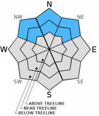
| Mid Slope Winds: | W | W | W |
| Wind Speed: | 30 to 40mph with gusts to 55mph. | 20 to 30mph with gusts to 55mph. | 15 to 25mph with gusts to 35mph. |
| Expected snowfall: | 2 to 4 | Up to 1 | 0 |
For 8000 ft. to 9000 ft.
| Tuesday | Tuesday Night | Wednesday | |
|---|---|---|---|
| Weather: | Cloudy. Snow. | Cloudy. Snow likely in the evening then snow showers likely after midnight. | Mostly cloudy. Slight chance of snow in the morning. |
| Temperatures: | 29 to 36 deg. F. | 16 to 23 deg. F. | 25 to 32 deg. F. |
| Ridge Top Winds: | W | W | NW |
| Wind Speed: | 65 to 75mph with gusts to 110mph. | 60 to 70mph with gusts to 105mph. | 40 to 50mph with gusts to 75mph. |
| Expected snowfall: | 2 to 4 | Up to 2 | 0 |


