Avalanche Forecast published on April 18, 2016 @ 6:49 am
Issued by Brandon Schwartz - Tahoe National Forest

We have stopped issuing daily avalanche advisories for the 2015-2016 season. Avalanche advisories will resume in the fall of 2016.

Avalanche activity can and most likely will continue to occur this spring. This will occur with continued daily wet snow melt-freeze cycles and as additional storm cycles impact the forecast area. Continue to monitor changing conditions and use caution when traveling in the backcountry. For general spring avalanche information please read the full spring avalanche statement.

No Rating

?

Above Treeline

No Rating

?

Near Treeline

No Rating

?

Below Treeline
Avalanche Problem 1: Loose Wet
  • Type ?

Loose wet avalanche activity will continue to occur this spring. Usually this type of instability forms in response to daytime warming. It will occur naturally following late season snowfall events. It can be human triggered when surface wet snow is present. With many previous melt-freeze cycles and rain events having already occurred this past winter and spring, free water drainage from the snowpack is well established.

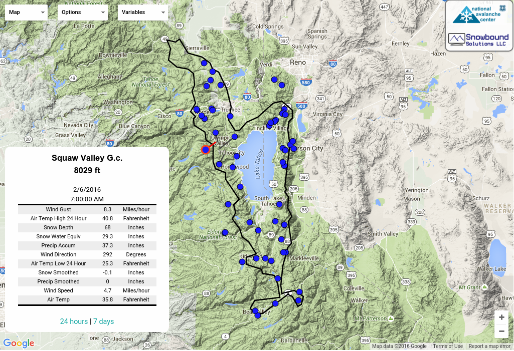
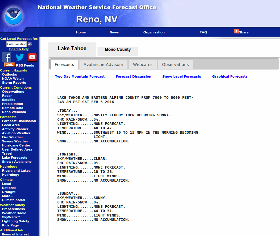
You can use data from the remote weather stations listed on the SAC weather station map to monitor hourly temperatures at many points throughout the forecast area. Mountain weather forecasts are issued twice per day by the NWS Reno. Cloudy skies overnight and air temperatures above freezing do not allow the snowpack to refreeze very well. When the snowpack does not refreeze overnight, other springtime activities that do not involve over snow travel on steep slopes represents a more prudent choice. Under clear skies, the top few inches of the snowpack will often refreeze despite near or slightly above freezing air temperatures. This superficial refreeze usually allows for a short period of good travel conditions during the early morning hours before surface wet snow instability becomes a concern.

If a solid overnight refreeze occurs, getting out early and finishing in time to have a mid day barbecue should be your goal. Start with east aspects and follow the sun to south, then to west, and finally to north aspects. Get off of your equipment on a regular basis and check boot penetration depth. Boot-top deep wet snow, significant roller ball activity, or any loose wet avalanche results from small test slopes all indicate that wet snow instabilities can occur. When signs of loose wet instability exist it is time to exit avalanche terrain. Move to a different aspect with less sun exposure or even better, terrain less than 30 degrees in slope angle without steeper terrain above. As a matter of etiquette, do not leave deep ruts in a slope that will freeze overnight and ruin the slope for others the next day.

Avalanche Problem 2: Wind Slab
  • Type ?

Natural and human triggered wind slab avalanches may occur during and immediately after any late season storms. Expect a period of snowpack instability during the storm itself, then a second cycle of avalanche activity as rapid warming occurs post storm. Use clues such as blowing snow, cornice formation, and wind pillow formation to identify where potentially unstable wind slabs exist. Look for typical signs of mid winter instability such as recent avalanche activity, wind loading, collapse, audible whumpfing sounds, and/or shooting cracks. Post storm, new snow will be very sensitive to rapid warming and direct sunlight. Pay close attention to layer bonding both within the new snow and to the old snow surface beneath it. It can lose strength rapidly as the day progresses causing a significant increase in avalanche danger.

Avalanche Problem 3: Wet Slab
  • Type ?

During periods of rapid warming after new late season snowfall, storm slabs and wind slabs can transition to wet slabs. The high angle sun in late April and May allows for significantly more incoming solar radiation to affect the snowpack on NW-N-NE-E-SE aspects than what occurs during December, January, February, and March. If an active weak layer exists at the bottom of a recently formed storm slab or wind slab, rapid warming of the snow surface can increase the deformation rate of the slab adding additional stress to the weak layer below. This can cause an increase in snowpack instability and in some cases cause natural avalanches to occur during periods of rapid warming post storm under sunny skies.

Forecast discussion

Other hazards such as cornice fall, moats, glide cracks, and open creeks exist. Stay well back from abrupt edges along ridgelines as human triggered cornice collapse will remain possible during the spring. Stay out from under cornice areas that are not well frozen, especially if you can see or hear water dripping from the cornice. Areas of weak snow around rocks, vegetation, and along the base of cliff bands exist. Move carefully around these features as the thin bridges of snow could collapse under body weight allowing you to fall into a melted hole next to the feature. Exercise caution when traveling near or attempting to cross creeks as wet snow along the banks can collapse under the weight of a person.

As the season begins to change, the morning air becomes crisp and the days become shorter, check back on our home page for early season fundraising events for the 2016-2017 season. Enjoy your spring and summer and we will see you right back here in the fall.

Weather and CURRENT CONDITIONS
CONDITIONS ALONG THE SIERRA CREST BETWEEN 8200 FT. AND 9200 FT. IN THE LAST 24 HOURS
6am temperature: (Check the data on the SAC Weather Station Map link at left.) deg. F.
Max. temperature: deg. F.
Average ridgetop wind direction:
Average ridgetop wind speed: mph
Maximum ridgetop wind gust: mph
New snowfall: inches
Total snow depth: inches
Two-Day Mountain Weather Forecast Produced in partnership with the Reno NWS
For 7000 ft. to 8000 ft.
Monday Monday Night Tuesday
Weather: Check the mountain weather forecast noted above issued twice per day from the NWS Reno.
Temperatures: deg. F. deg. F. deg. F.
Mid Slope Winds:
Expected snowfall:
For 8000 ft. to 9000 ft.
Monday Monday Night Tuesday
Weather:
Temperatures: deg. F. deg. F. deg. F.
Ridge Top Winds:
Expected snowfall:
Disclaimer

This avalanche advisory is provided through a partnership between the Tahoe National Forest and the Sierra Avalanche Center. This advisory covers the Central Sierra Nevada Mountains between Yuba Pass on the north and Ebbetts Pass on the south. Click here for a map of the forecast area. This advisory applies only to backcountry areas outside established ski area boundaries. This advisory describes general avalanche conditions and local variations always occur. This advisory expires 24 hours after the posted time unless otherwise noted. The information in this advisory is provided by the USDA Forest Service who is solely responsible for its content.

For a recorded version of the Avalanche Advisory call (530) 587-3558 x258