


For 7000 ft. to 8000 ft.
| Tuesday | Tuesday Night | Wednesday | |
|---|---|---|---|
| Weather: | Sunny | Partly cloudy. | Mostly cloudy then becoming partly cloudy. Slight chance of rain in the morning then rain and snow likely in the afternoon. |
| Temperatures: | 52 to 59 deg. F. | 31 to 37 deg. F. | 40 to 47 deg. F. |
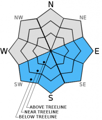
| Mid Slope Winds: | SW | SW | SW |
| Wind Speed: | 10 to 15mph. Gusts up to 25mph in the afternoon. | 15 to 25mph. Gusts up to 30mph increasing to 40mph after midnight. | 40 to 50mph with gusts to 80mph. |
| Expected snowfall: | 0 | 0 | Up to 1 |
For 8000 ft. to 9000 ft.
| Tuesday | Tuesday Night | Wednesday | |
|---|---|---|---|
| Weather: | Sunny | Partly cloudy. | Mostly cloudy then becoming cloudy. Slight chance of rain and snow in the morning then snow likely in the afternoon. |
| Temperatures: | 47 to 54 deg. F. | 28 to 35 deg. F. | 36 to 43 deg. F. |
| Ridge Top Winds: | SW | SW | S |
| Wind Speed: | 15 to 25mph with gusts to 35mph. | 25 to 30mph with gusts to 45mph, increasing south 35 to 40mph with gusts to 60mph after midnight. | 60 to 70mph with gusts to 105mph. |
| Expected snowfall: | 0 | 0 | Up to 2 |


