THIS AVALANCHE FORECAST EXPIRED ON January 6, 2014 @ 7:00 am
Avalanche Forecast published on January 5, 2014 @ 7:00 am
Issued by Andy Anderson - Tahoe National Forest - Sierra Avalanche Center

Some pockets of MODERATE avalanche danger still exist on near treeline and below treeline NW-N-NE aspects steeper than 32 degrees where consistent snow cover exists. Persistent slabs continue to lurk in these areas. Human triggered avalanches remain possible where these pockets MODERATE avalanche danger still exist. Lack of snow in all other areas has made the avalanche danger LOW or non-existent.

1. Low

?

Above Treeline
Generally safe avalanche conditions. Watch for unstable snow on isolated terrain features.

2. Moderate

?

Near Treeline
Heightened avalanche conditions on specific terrain features. Evaluate snow and terrain carefully; identify features of concern.

2. Moderate

?

Below Treeline
Heightened avalanche conditions on specific terrain features. Evaluate snow and terrain carefully; identify features of concern.
    Heightened avalanche conditions on specific terrain features. Evaluate snow and terrain carefully; identify features of concern.
Avalanche Problem 1: Persistent Slab
  • Type ?
  • Aspect/Elevation ?
  • Likelihood ?
    Certain
    Very Likely
    Likely
    Possible
    Unlikely
  • Size ?
    Historic
    Very Large
    Large
    Small

Human triggered persistent slab avalanches remain possible on some NW-N-NE aspects in near and below treeline terrain. These slopes also represent the best places to recreate on snow because they have the most consistent snow cover. Areas where a shallower snowpack connected to deeper snow exists or trigger points like shallowly buried rocks represent the most likely places to trigger an avalanche on these slopes. Field observations from the past 3+ weeks have shown the greatest amount of continued instability in the Carson Pass and Pole Creek/Deep Creek areas. Observations from the Yuba Pass, Mount Rose, Donner Summit, West Shore Tahoe, and Echo Summit areas have shown significantly less ongoing instability and in some cases stable conditions near and below treeline on NW-N-NE aspects.

The increase in variability and uncertainty associated with the persistent slabs makes accessing snowpack stability difficult. Even though most observations may point to a stable slope, it only takes finding that one hidden trigger point to start a failure that could take down the whole slope. Using the terrain to avoid the avalanche hazard by recreating on lower angle slopes that remain disconnected from steeper and deeper terrain represents a fun and safe plan when conditions like this exist.

These kind of avalanches should remain small due to the lack of snow; however, getting caught in one of them will likely result in collisions with rocks, logs, or trees due to that same shallow snowpack.

recent observations

Yesterday on Rubicon Peak, observations yielded inconsistent results. Some tests pointed to a more stable snowpack and other tests indicated that fractures can still travel along the persistent weak layer. Observations have shown similar inconsistent results across the forecast area. In some areas the Dec. 7th facet layer remains active and in other areas no signs of instability exist. Overall observations show a snowpack whose stability or instability varies greatly from slope to slope or even across an individual slope, and that stability or instability has become difficult to access.

Recently, the Carson Pass, Pole Creek, and Deep Creek areas have shown continued obvious signs of instability. The West Shore areas have shown a mix stable and unstable results. The Yuba Pass, Donner Summit, and Mount Rose areas have shown better overall snowpack stability with few or no signs of instability. Of course these areas also have the most shallow snowpack with more exposed rocks, ground, trees, bushes, logs, stumps, and other obstacles.

Weather and CURRENT CONDITIONS
weather summary

Temperatures cooled off in the wake of the small cold front that passed through the area over the last 24 hours. This front also brought strong easterly winds to the above treeline areas. The winds have started to decrease and should continue to diminish today and tonight before shifting to the SW tomorrow. The high pressure ridge dominating the area will keep the weather dry and mostly clear until tomorrow when some cloud cover could develop as a weak low pressure system passes nearby the area.

CONDITIONS ALONG THE SIERRA CREST BETWEEN 8200 FT. AND 9200 FT. IN THE LAST 24 HOURS
6am temperature: 23 to 31 deg. F.
Max. temperature: 36 to 40 deg. F.
Average ridgetop wind direction: East
Average ridgetop wind speed: 35 mph
Maximum ridgetop wind gust: 81 mph
New snowfall: 0 inches
Total snow depth: 7 to 13 inches
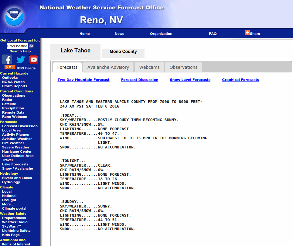
Two-Day Mountain Weather Forecast Produced in partnership with the Reno NWS
For 7000 ft. to 8000 ft.
Sunday Sunday Night Monday
Weather: Sunny Clear with some clouds developing overnight Partly cloudy becoming mostly cloudy during the day
Temperatures: 37 to 44 deg. F. 22 to 32 deg. F. 40 to 47 deg. F.
Mid Slope Winds: East Variable Southwest
Wind Speed: 5 to 15 mph Light 5 to 10 mph
Expected snowfall: 0 0 0
For 8000 ft. to 9000 ft.
Sunday Sunday Night Monday
Weather: Sunny Clear with some clouds developing overnight Partly cloudy becoming mostly cloudy during the day
Temperatures: 30 to 40 deg. F. 22 to 32 deg. F. 32 to 42 deg. F.
Ridge Top Winds: East Variable Southwest
Wind Speed: 10 to 15 mph Light 10 to 15 mph with gusts to 25 mph in the afternoon
Expected snowfall: 0 0 0
Disclaimer

This avalanche advisory is provided through a partnership between the Tahoe National Forest and the Sierra Avalanche Center. This advisory covers the Central Sierra Nevada Mountains between Yuba Pass on the north and Ebbetts Pass on the south. Click here for a map of the forecast area. This advisory applies only to backcountry areas outside established ski area boundaries. This advisory describes general avalanche conditions and local variations always occur. This advisory expires 24 hours after the posted time unless otherwise noted. The information in this advisory is provided by the USDA Forest Service who is solely responsible for its content.