Bottom Line
How to read the ForecastEarly season conditions report #1
Additional rain and snow have accumulated over the forecast area during the past 24 hours. Avalanche concerns remain minimal at this time with the possible isolated wind slab exception near ridgetops. The very shallow snowpack remains mostly unusable for snowmobiling/skiing/snowboarding at this time.

No Rating
?
Above Treeline
No Rating
?
Near Treeline
No Rating
?
Below Treeline
-
Type ?
Avalanche concerns remain minimal. The existing snowpack is gaining complexity, but problematic weak layers have yet to be observed. Any isolated areas of unstable snow would most likely occur near ridgetops where wind drifted snow has deposited deeper as a wind slab. If you head out into avalanche terrain, take your partner and your companion rescue gear (beacon, shovel, probe) just as you would mid winter.
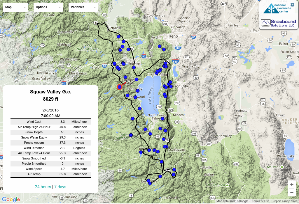
This past week, snowfall from the Nov 7 storm event had settled down to around 3 to 8 inches on northerly aspects. Some melt had occurred on southerly aspects. Periods of north and east ridgetop winds had scoured and removed snow from the upper portion of many avalanche start zones. The Nov 13 storm started as snow at Lake Tahoe level before eventually switching to rain with snow level rising to somewhere around 7,500' to 7,700' and then lowering back down to lake level. Most locations picked up 3 to 5 inches of high density new snow from this most recent storm event. This was accompanied by gale force southwest winds that likely caused some amount of drifting. Remote weather stations are reporting total snow depths on the ground of 5 to 11 inches across the forecast area Saturday morning.
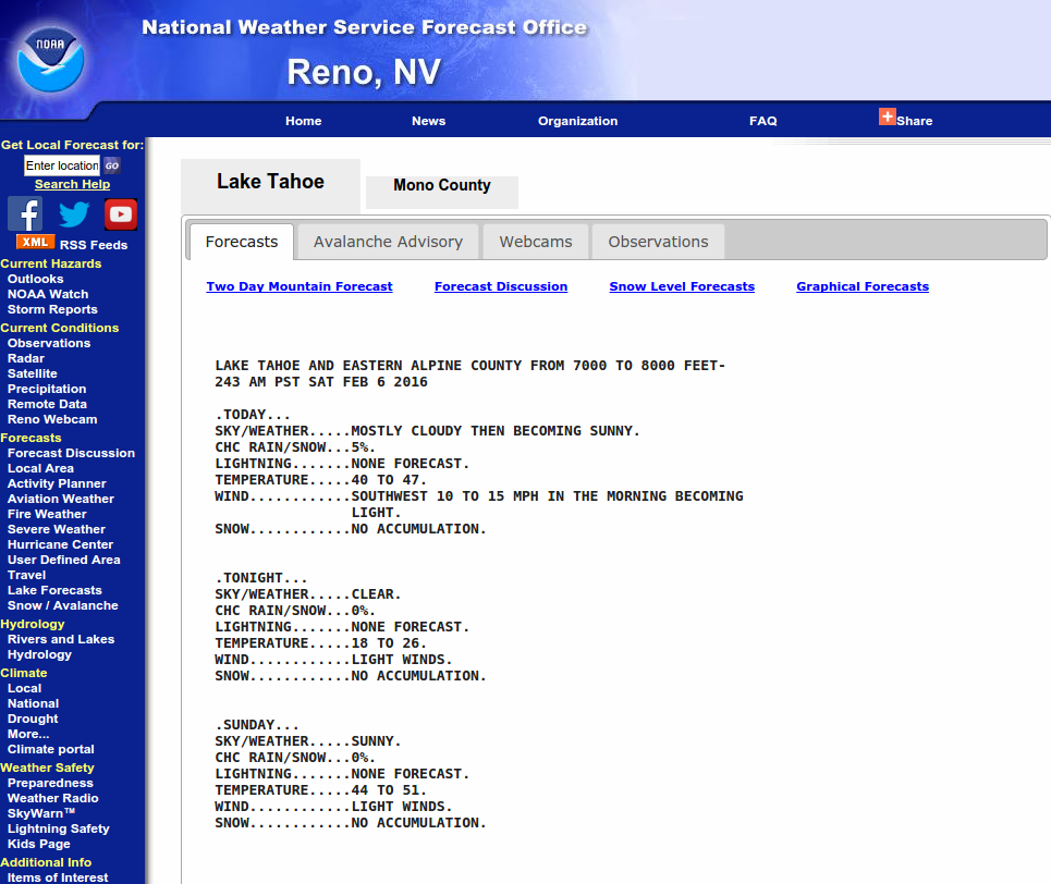
Clearing weather conditions and warming air temperatures are expected for the next few days. The next storm system is expected to impact the forecast area Nov 17-18 (Tues-Wed). Early projections are for another round of gale force southwest winds, snow levels around 7,000' to 8,000', and 0.5 to 1 inch of rainwater equivalent.
This avalanche forecast is provided through a partnership between the Tahoe National Forest and the Sierra Avalanche Center. This forecast covers the Central Sierra Nevada Mountains between Yuba Pass on the north and Ebbetts Pass on the south. Click here for a map of the forecast area. This forecast applies only to backcountry areas outside established ski area boundaries. This forecast describes general avalanche conditions and local variations always occur. This forecast expires 24 hours after the posted time unless otherwise noted. The information in this forecast is provided by the USDA Forest Service who is solely responsible for its content.
For a recorded version of the avalanche forecast call (530) 587-3558 x258
This website is owned and maintained by the non-profit arm of the Sierra Avalanche Center. Some of the content is updated by the USDA avalanche forecasters including the forecasts and some observational data. The USDA is not responsible for any advertising, fund-raising events/information, or sponsorship information, or other content not related to the forecasts and the data pertaining to the forecasts.
