Bottom Line
How to read the ForecastGeneral Fall Avalanche Statement
Snowfall has returned to the high country. Here are some things to think about if you choose to make an early season foray into or below snow covered avalanche terrain. Daily avalanche advisories will resume in either November or December as conditions dictate. Until that time, occasional updates to this page will occur as conditions warrant.

No Rating
?
Above Treeline
No Rating
?
Near Treeline
No Rating
?
Below Treeline
Snowfall has returned to the forecast area. As daylight hours continue to wane, snowfall that accumulates on N and NE aspects this time of year will likely remain through the winter. The building of basal snowpack layers is now underway in avalanche terrain. Aspects with more sun exposure may remain subject to melt. It will all depend on how the weather progresses this fall.
A few inches of snow have resisted melt out on northerly aspects above about 8,700' to 9,000' following the October 28 snowfall event. This snow is expected to be buried by new snowfall associated with the November 1 storm. Going forward through the November 1 storm, avalanche concerns are focused mainly on wind slabs. These wind slabs are most likely to form on wind loaded slopes directly below ridgelines and in gullies. Following the November 1 storm, it will be time to monitor the snowpack for faceted weak layer formation on shaded NW-N-NE aspects. It does not take a very deep slab to create an unforgiving avalanche. The shallow snowpack this time of year does not eliminate the risk of avalanches. It does increase the likelihood of impact with rocks and subsequent injury either while caught in a small avalanche or while attempting over snow travel in general.
During a storm wind loading can increase snow deposition rates by 2 to 10 times the rate that snow is falling from the sky. Similar deposition rates can occur during periods of blowing snow under sunny skies. Either way, this rapid loading can create enough snowpack instability for an avalanche to occur, despite only a few inches of snow on the ground in wind protected areas. Make constant observations as you travel, looking for indications of current or recent snowpack instability. The best indicator is recent avalanche activity. Other signs of snowpack instability including wind loading, collapse, audible whumpfing sounds, shooting cracks, and/or test slope failure. These are all indications that the snowpack in the immediate area is unstable. When signs of an unstable snowpack exist, the only additional factors needed for avalanche to occur are a slope steeper than 30 degrees and a trigger.
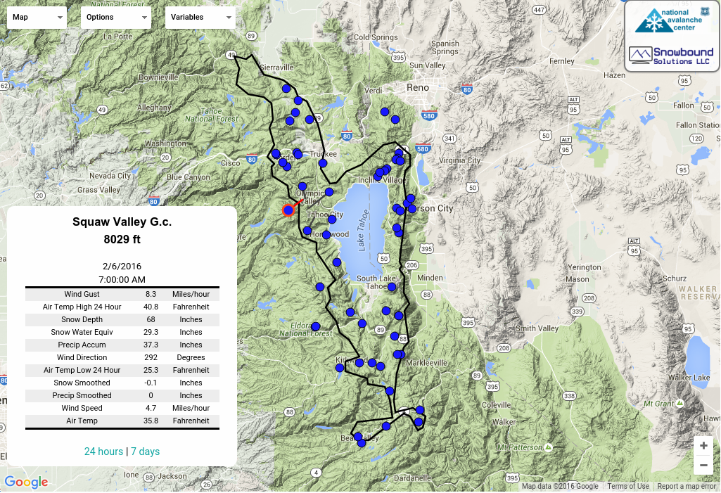
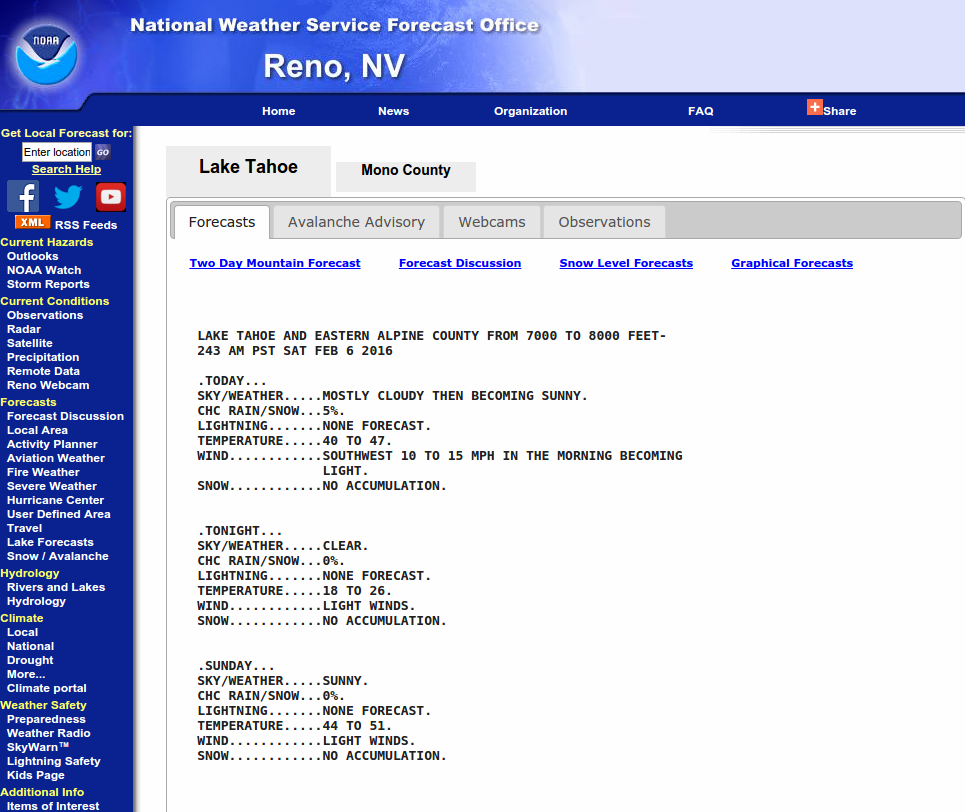
Current remote weather station data as well as a general weather forecast for the area provided by the NWS can be found by clicking here.
If you are behind the curve on refreshing and expanding your early season avalanche knowledge, there is no time like the present. Check out the Avalanche Canada's Online Avalanche Course. It is a free resource, very well put together that offers excellent text, photos, videos, and even some interactive exercises. There is something of interest for every level and type of winter backcountry traveler. One could spend anywhere from 30 minutes to several hours on this course if you delved deep into all of the sub lessons and sub topics. Don't miss the sections under "Reducing Risk in the Field" including the "Good Travel Habits" sub lesson on "Managing risk associated with different avalanche problems". There is also an excellent online tutorial on the Forest Service National Avalanche Center's webpage. Both are well worth the time. When you are done with the online courses, check the Education link at the top of this page for a listing of providers for field based avalanche classes. There is no substitute for field based education and the opportunity to make real world, real time decisions with the guidance and feedback of a professional avalanche educator.
Don't forget to check the events calendar for local education and fundraising events.
This avalanche advisory is provided through a partnership between the Tahoe National Forest and the Sierra Avalanche Center. This advisory covers the Central Sierra Nevada Mountains between Yuba Pass on the north and Ebbetts Pass on the south. Click here for a map of the forecast area. This advisory applies only to backcountry areas outside established ski area boundaries. This advisory describes general avalanche conditions and local variations always occur. This advisory expires 24 hours after the posted time unless otherwise noted. The information in this advisory is provided by the USDA Forest Service who is solely responsible for its content.
