These observations document past conditions at a small and variable scale. They are not to be confused with an avalanche forecast. They come from a variety of sources. We can only vouch for the quality of those produced by the SAC forecasters and professional observers.
Date and time of observation or avalanche occurrence Location Media Observation made by
11/09/2020 - 11:45

Snowpack Observation
Mt. Judah

Donner Summit Area
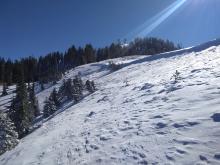
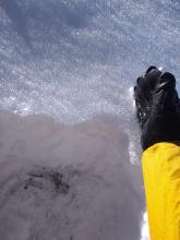
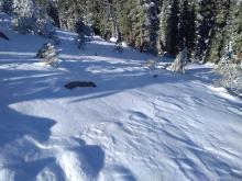
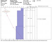
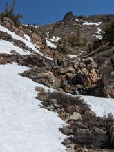
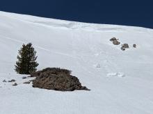
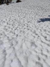
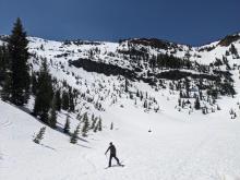
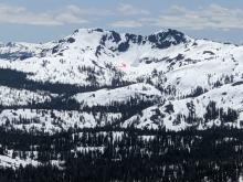
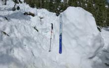
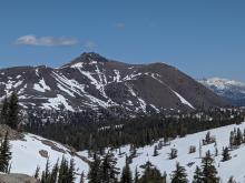
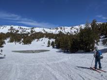
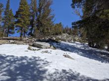
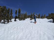
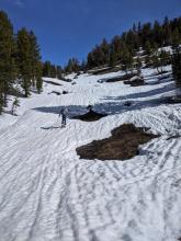
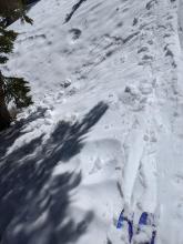
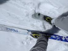
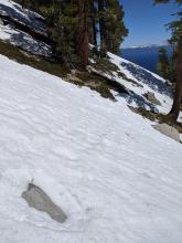
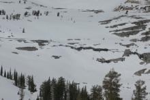
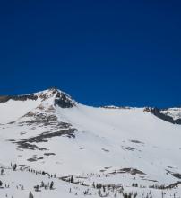
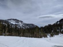
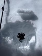
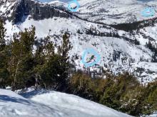
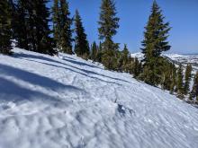
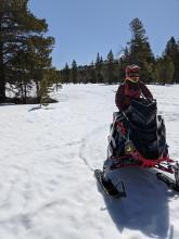
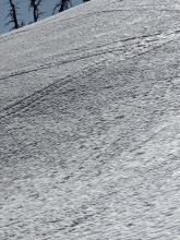
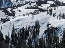
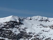
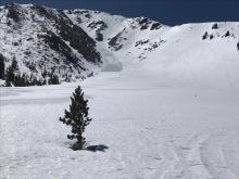
5 to 12 inches of snowcover on NE aspect Wildflower Ridge at about 7,750'. Surface hoar and snowpit. N aspect of Mt. Judah at treeline. A mix a of surface hoar and lightly E wind scoured surface conditions. Surface hoar up to 8mm in wind protected areas. Forecaster
05/02/2020 - 11:00

Snowpack Observation
Red Lake Peak

Carson Pass Area
Professional Observer
05/02/2020 - 10:00

Snowpack Observation
Mt. Judah

Donner Summit Area
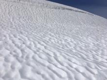
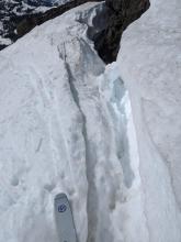
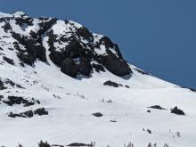
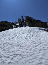
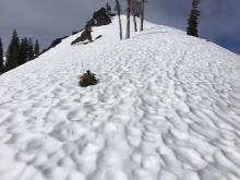
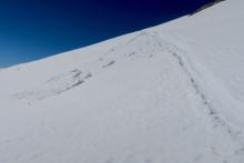
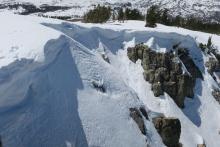
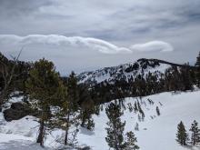
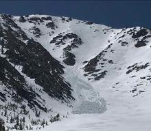
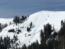
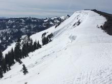
Suncups on all aspects and elevations. A large previous cornice chunk at the bottom of slope from last week Large cracks along the backside of cornices Forecaster
05/01/2020 - 12:00

Snowpack Observation
Round Top

Carson Pass Area
Professional Observer
05/01/2020 - 10:30

Snowpack Observation
Mt. Houghton

Mount Rose Area
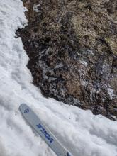
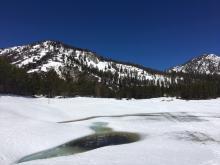
A thin layer of ice over running water at 9:15 am from last night's refreeze. Open water at 9400 ft. Clear skies and decent snow coverage on high elevation northerly aspects. Areas of exposed rocks and dirt. The beginnings of sun cups on the snow surface. Areas of exposed dirt and running water in a creek. Forecaster
04/30/2020 - 10:30

Snowpack Observation
Rubicon Peak

West Shore Area
Small loose wet sluff on a short steep slope above a tree-well at 11 am. Below 7300 ft. very little snow remains. Shin deep wet snow on an E aspect at 9000 ft. at 11 am. Rocks and bare ground melting out on an E aspect at 8500 ft. Some firm uneven snow surfaces near the summit of Rubicon on wind-exposed N aspects at 10:30 am. Forecaster
04/29/2020 - 10:30

Snowpack Observation
Mt. Judah

Donner Summit Area
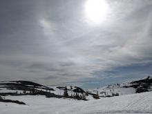
Suncups on all aspects and elevations. Thin high cloud cover. Snowpack rapidly melting Forecaster
04/28/2020 - 11:00

Snowpack Observation
Incline Lake Peak

Mount Rose Area
Increased snow melt this past week with above average temperatures and sunny skies. Mostly supportable conditions on SE aspects before 10am. E aspects were deep and wet by 10am, all other aspects became unsupportable by 11am. Forecaster
04/28/2020 - 10:00

Snowpack Observation
Pyramid Peak

Desolation Wilderness Area (including Emerald Bay)
At 9am on a south facing slope at 8000 feet. Surface snow was supportable to skis but deeper snow was still wet. Small loose wet slide on steepest part of a slope. Multiple glide cracks on the east face of Pyramid. The previously observed avalanche on Price is still visible (it was more impressive in person, than it this photo). Crossing Echo Lakes by skis looks to be done for the season. The large cornice on Echo Peak has broken in a couple areas and sent large chunks down. Professional Observer
04/27/2020 - 11:15

Snowpack Observation
Mt. Houghton

Mount Rose Area
Lots of bare ground on true S aspect terrain looking towards Mount Rose proper. Supportable snow surface conditions during the morning hours on E-SE aspects. High level cloud cover did little to slow melt rates this morning. Forecaster
04/27/2020 - 10:00

Snowpack Observation
Forestdale

Carson Pass Area
Professional Observer
04/26/2020 - 10:30

Snowpack Observation
Rubicon Peak

West Shore Area
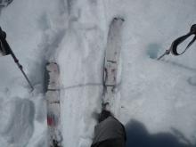
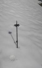
2 inch overnight surface refreeze with deep residual wet snow below. 145cm pole was easily pushed in. Still barely ski supportable on E aspect at ~8,800' at 10:30 am. 3 areas of glide cracks seen out in Desolation WIlderness. The closest, lowest one has enlarged in recent days. Rough snow surfaces on the northerly aspects of Rubicon Peak. Forecaster
04/26/2020 - 10:00

Snowpack Observation
Forestdale

Carson Pass Area
Professional Observer
04/26/2020 - 09:45

Avalanche Observation
Job's Peak Jaws Couloir

East Shore Area
Public
04/25/2020 - 10:30

Snowpack Observation
Donner Peak

Donner Summit Area
Recent loose wet avalanche activity and cornice collapses. Recent cornice fall. Soft edgeable snow at 8:30am on W aspects Deep wet snow on E aspects at 9:30am Forecaster

Pages