These observations document past conditions at a small and variable scale. They are not to be confused with an avalanche forecast. They come from a variety of sources. We can only vouch for the quality of those produced by the SAC forecasters and professional observers.
Date and time of observation or avalanche occurrence Location Media Observation made by
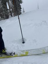
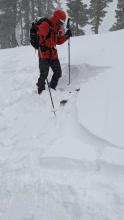
03/16/2022 - 11:00

Snowpack Observation
Flagpole

Echo Summit Area
Professional Observer
03/16/2022 - 10:15

Snowpack Observation
Waterhouse Peak

Luther Pass Area (including Job and Freel)
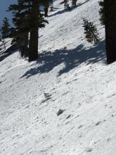
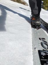
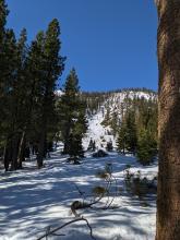
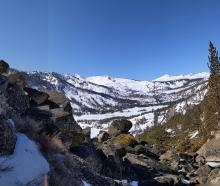
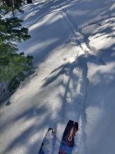
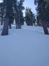
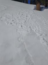
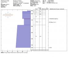
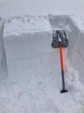
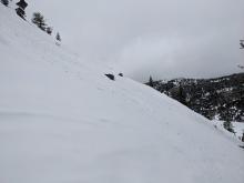
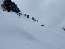
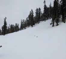
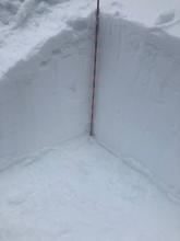
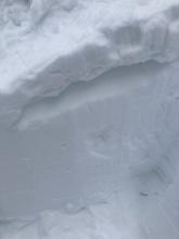
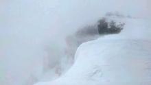
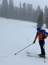
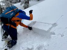
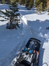
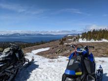
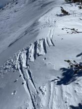
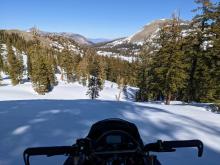
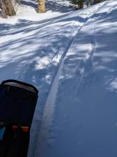
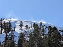
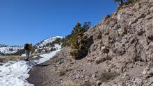
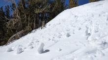
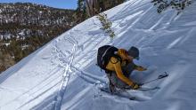
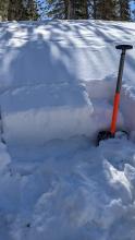
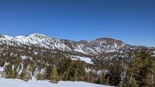
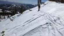
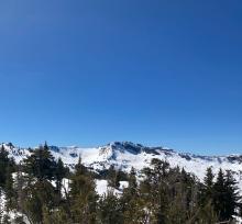
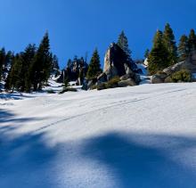
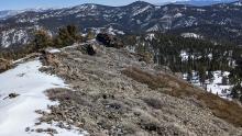
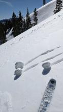
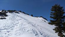
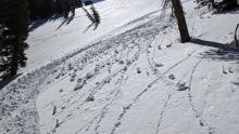
Skies cleared rapidly over the forecast area this morning. Pano looking N-E-S from summit ridge of Waterhouse Pk. Breakable crust in many areas below about 8,400' to 8,600' on northerly aspects. Looking upslope from the pit profile location on a well shaded NW aspect just above 8,800'. Rollerballs forming off my turns descending sun exposed ENE aspect terrain around 9,000' at 11:15 am. Forecaster
03/15/2022 - 13:05

Snowpack Observation
Elephant's Hump

Carson Pass Area
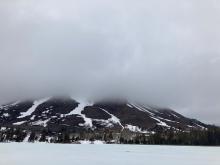
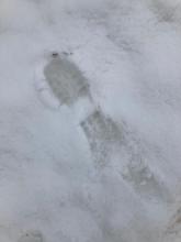
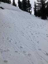
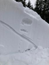
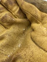
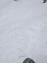
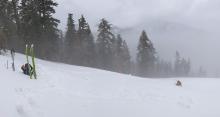
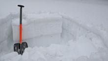
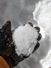
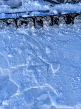
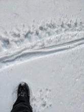
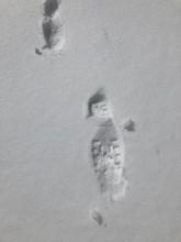
Looking across Red Lake at Red Lake Peak obscured by clouds. Boot penetration near the parking lot showing maybe an inch of new wet snow on top of very wet snow This north facing slope had impressive natural wet loose activity. My photo doesn't really capture the vertical extent of some of these rollerballs. Pit wall showing snow above old facet layer. I had repeatable ECTN results from the elbow failing on the old facet layer but not propagating. Several times there was intense snowfall with rimed new snow and small graupel but the snow melted quickly. Professional Observer
03/15/2022 - 12:30

Avalanche Observation
Becker Peak

Echo Summit Area
Public
03/15/2022 - 11:00

Avalanche Observation
Polaris Point and Stanford Rock

Blackwood Canyon or Ward Canyon Area
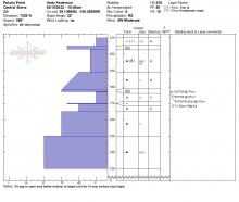
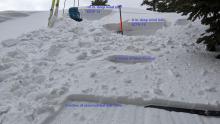
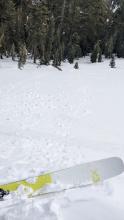
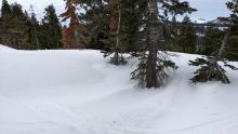
Intentionally triggered wet loose avalanche, size D1. Stanford Rock, NE aspect at 8,400'. Spreading out for more than one snowpit below Polaris Point at 7,300'. Repeatable propagation on Feb 14 layer at the upper pit, none at the lower pit. ECTP on the Feb 14 layer, about 1 foot below the snow surface. Forecaster
03/14/2022 - 12:00

Snowpack Observation
Mt. Judah

Donner Summit Area
Tests on a wind loaded test slope. ECTP at the top where the wind loading was deepest. ECTN a few feet down the slope. A few more feet down the slope there was little wind loading. Roller balls and pinwheels on an ESE facing slope at 12:30 pm near the summit of Mt. Judah. Mostly cloudy skies this morning gave way to mostly sunny skies this afternoon. Scoured areas and wind drifted snow on Mt. Judah Forecaster
03/14/2022 - 12:00

Snowpack Observation
Rubicon Peak

Desolation Wilderness Area (including Emerald Bay)
Public
03/13/2022 - 12:00

Snowpack Observation
Andesite Ridge / Castle Peak

Donner Summit Area
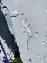
Wind drifted snow near the Castle Peak ridgeline. The drift did not extend far down slope. Small wind slab on a wind-loaded test slope along Castle Ridge. The slope craked only after we undercut it and did not extend very far downslope. This was the largest wind slab we encountered on our tour. Intense blowing snow near the summit of Castle Peak 1 inch of new snow in a meadow at the start of our tour. ECTN on on the old faceted snow below the surface on a NW aspect Forecaster
03/13/2022 - 12:00

Snowpack Observation
Genoa Peak

East Shore Area
Professional Observer
03/13/2022 - 09:12

Snowpack Observation
Tamarack

Mount Rose Area
Stable wind deposited snow. Public
03/12/2022 - 14:00

Snowpack Observation
The Nipple

Carson Pass Area
Professional Observer
03/12/2022 - 12:00

Snowpack Observation
Relay and Tamarack

Mount Rose Area
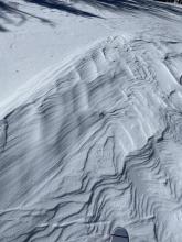
Many areas of bare ground are exposed on S aspects Small skier triggered roller-balls and pinwheels on a SE aspect at 9700 ft. Small pockets of weaker snow existed in some shady patches on N facing slopes. ECTN 23 on the Feb 14 facets on a shady N aspect. Looking at the sunny aspects on Mt. Rose and Mt. Houghton Wind scoured and sculpted surfaces on an E aspect on Relay Peak. Forecaster
03/11/2022 - 12:00

Snowpack Observation
Mt. Tallac

Desolation Wilderness Area (including Emerald Bay)
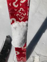
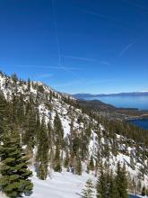
Lots of snow glopping on the skins today 1-2 cm boot penetration at 10:15am on a low angle E aspect clearing at about 7200 Looking north towards Cascade Lake and Emerald Bay Looking west towards Kalmia Ridge Firm turns on an E aspect just after 1pm around 7600 feet. Lower elevation and sunnier more south facing aspects were softer. Professional Observer
03/11/2022 - 12:00

Snowpack Observation
Silver Peak

Cabin Creek, Deep Creek, or Pole Creek Area
South aspects are melting fast. Pinwheels on an E aspect around 8200 ft N-NE aspect at 8200 ft scoured by the recent NE winds. Roller balls on an ENE aspect at 8000 ft around noon. Forecaster
03/11/2022 - 10:45

Snowpack Observation
Dogleg Couloir-Maggies

Desolation Wilderness Area (including Emerald Bay)
Public

Pages