These observations document past conditions at a small and variable scale. They are not to be confused with an avalanche forecast. They come from a variety of sources. We can only vouch for the quality of those produced by the SAC forecasters and professional observers.
Date and time of observation or avalanche occurrence Location Media Observation made by
03/17/2023 - 14:00

Snowpack Observation
Plasse Trading Post

Carson Pass Area
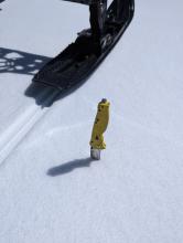
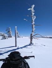
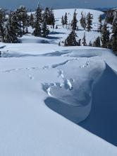
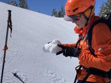
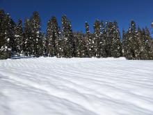
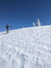
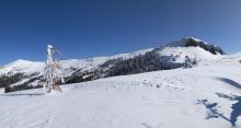
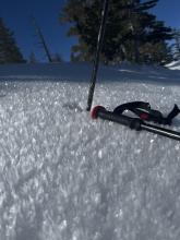
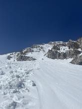
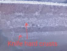
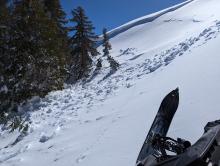
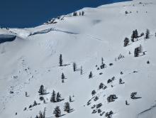
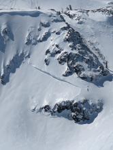
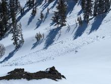
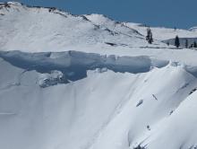
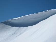
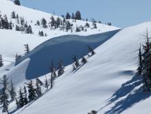
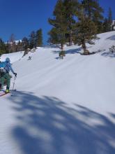
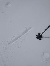
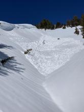
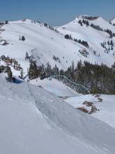
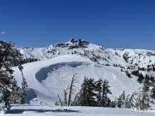
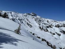
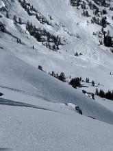
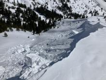
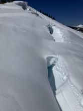
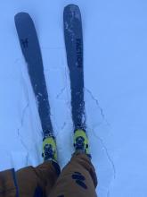
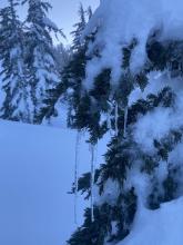
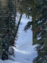
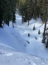
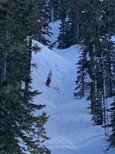
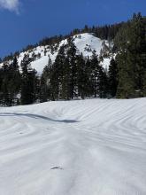
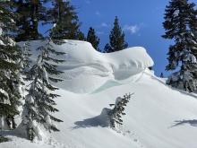
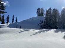
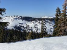
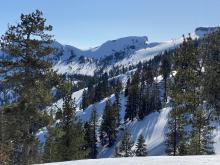
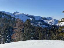
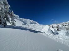
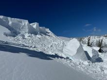
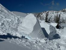
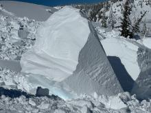
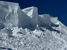
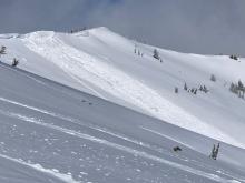
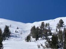
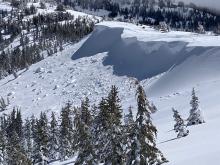
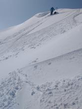
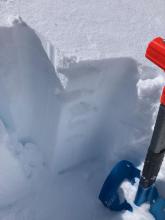
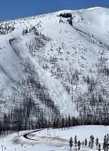
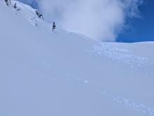
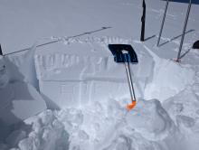
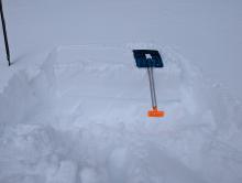
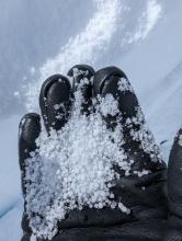
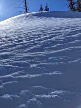
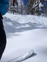
Knife hard crust everywhere we traveled today, well into the afternoon Water ice on trees indicating previous rain to at least 8600ft A previous avalanche under a cornice. Most of the debris is downhill in the trees, but it was too firm to walk any closer to the edge to try to get a better photo Drooping cornices with tensile cracks far back An inch of graupel above the firm snow Professional Observer
03/17/2023 - 12:00

Snowpack Observation
Castle Peak

Donner Summit Area
Firm rain crust with a dusting of soft snow on top of it. Rain runnels existed on most slopes below 8400 ft. Uneven icy surfaces existed on the ridges. Evidence of strong winds during the storm was widespread. Forecaster
03/17/2023 - 11:00

Snowpack Observation
Maggie's Peaks

West Shore Area
Old debris under the south couloir Public
03/16/2023 - 14:00

Snowpack Observation
Relay Ridge

Mount Rose Area
Public
03/16/2023 - 13:00

Avalanche Observation
Polaris Bowl

Carson Pass Area
Zero to 1" foot, ski, and track penetration due to knife hard crusts One of several recent avalanches. Alhtough a relatively small slope, this one did pile up high against trees and ran well into the trees Hard to say where the cornice ends and crown begins Another crown Debris piles in adjacent runouts Large cornices in the area Another large cornice Yet another large cornice Professional Observer
03/16/2023 - 12:58

Avalanche Observation
Tallac

Desolation Wilderness Area (including Emerald Bay)
Public
03/16/2023 - 12:15

Avalanche Observation
Peak 8,426'

Cabin Creek, Deep Creek, or Pole Creek Area
Firm conditions on 6 inch thick P hard rain crust at 10 am. Two inches of surface wet snow on top of supportable crust on S aspect terrain at 12:15 pm near 7,500'. Natural avalanche from 3/14 - Hybrid wind slab/wet slab at 7,700' Additional wind slab/wet slab avalanches viewed in the distance looking down into Upper Pole Creek. Forecaster
03/16/2023 - 12:00

Avalanche Observation
Castle Peak

Donner Summit Area
Cornice failure- D2 windslab.  Note crack on ridge Shooting cracks near snow machine track and a number of avalanche deposits in background. Looking north from near summit of Castle Peak at toe of D3 r4 wind slab. Guide

Blackbird Mountain Guid
03/16/2023 - 01:30

Avalanche Observation
Johnson Canyon

Donner Summit Area
Cornice creeping Public
03/15/2023 - 17:45

Snowpack Observation
Incline Peak

Mount Rose Area
Public
03/15/2023 - 15:00

Snowpack Observation
Deep Creek

Cabin Creek, Deep Creek, or Pole Creek Area
Public
03/15/2023 - 12:30

Avalanche Observation
Incline Peak

Mount Rose Area
Cornice fall on NE aspect of Incline Peak Cornice fall on NE aspect of Incline Peak Cornice fall on NE aspect of Incline Peak Cornice fall on NE aspect of Incline Peak Cornice fall on NE aspect of Incline Peak Guide

Blackbird Mountain Guid
03/15/2023 - 12:00

Avalanche Observation
Tamarack Peak

Mount Rose Area
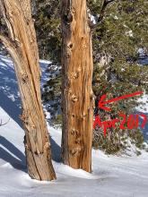
Cornice collapse with wind slab avalanche in Hourglass Bowl failing sometime last night.  Size D2. View from bottom of Hourglass avalanche:  Up to 500' long and 75' wide. Multiple cornice collapses and wind slab avalanches partially covered by additional storm snow on the far East Ridge. In similar wind loaded terrain in Hourglass Bowl-ECTN with no signs of continued instability. Rain crust up to 8800' in this area covered by around 2'' of storm snow.  At higher elevations, the rain crust was a heavy snow layer. The "Record Tree" on Tamarack Peak.  At this location, current HS not up to April 2017-yet? Forecaster
03/15/2023 - 12:00

Avalanche Observation
Observed from Sierra @ Tahoe

Echo Summit Area
Public
03/15/2023 - 11:00

Avalanche Observation
Elephants Back

Carson Pass Area
A small wind slab avalanche, where an adjacent ECTP indicated continued instability My first ECT that indicated instability My second ECT that indicated instability An inch thick graupel layer just below the surface Cold snow above the supportable crust, with some graupel and surface hoar Debris from Frog Lake Ridge that crossed the Red Lake Rd. The path width at the road was 150ft, and debris ran well downhill of the road Professional Observer

Pages