These observations document past conditions at a small and variable scale. They are not to be confused with an avalanche forecast. They come from a variety of sources. We can only vouch for the quality of those produced by the SAC forecasters and professional observers.
Date and time of observation or avalanche occurrence Location Media Observation made by
04/19/2023 - 12:00

Snowpack Observation
Lincoln Ridge

Yuba Pass Area
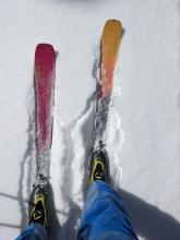
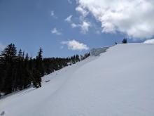
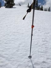
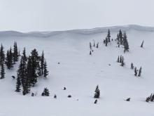
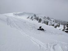
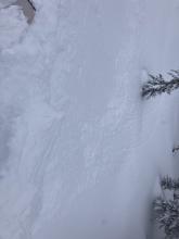
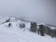
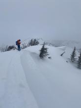
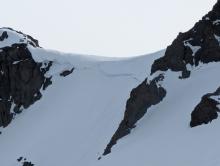
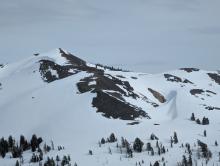
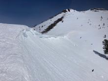
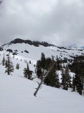
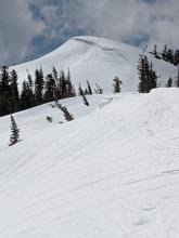
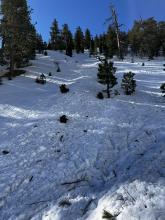
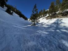
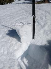
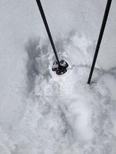
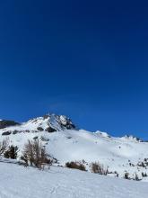
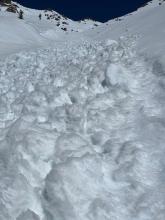
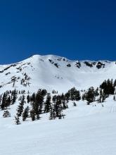
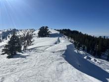
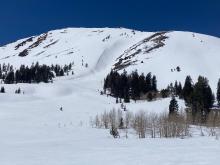
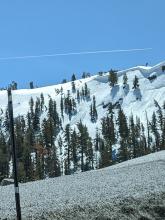
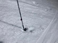
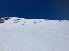
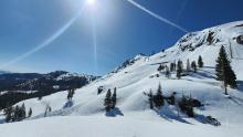
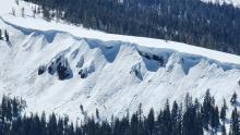
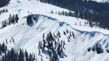
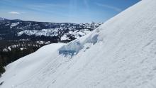
A weak sun crust had formed on the surface in sun-exposed areas. Ski kicks on wind-loaded test slopes did not produce wind slab failures only small sluffs of new snow. Large cornices still exist along Lincoln Ridge. Debris from old cornice collapses is visible on the slope below. The wind had exposed firm melt-freeze crusts on the ridges. Forecaster
04/18/2023 - 14:00

Snowpack Observation
Echo Lake Trees

Echo Summit Area
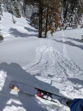
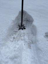
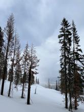
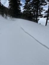
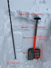
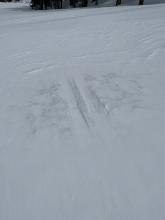
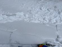
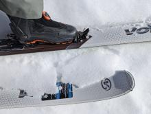
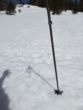
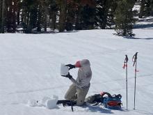
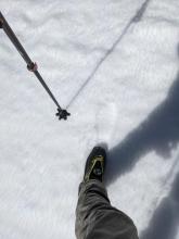
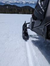
Snow depth was highly variably but ranged from 2-6" with areas with zero accumulation Snow accumulation had mostly ended by the time of my midday tour and brief breaks of blue sky were present There was active blowing snow over this small wind feature Examining the snow on a north facing slope in a clearing above Echo Lake The still present old crusty skin track with fresh snow on either side captures the variability I found. A small slab directly below my ski on a short steep test slope that had been undercut. Echo Lake Professional Observer
04/18/2023 - 14:00

Snowpack Observation
West of Mt. Lola

Independence Lake Area
A very shallow natural wind slab. Slope cuts on wind loaded features produced some minor cracking no longer than about 2 feet. Forecaster
04/18/2023 - 11:00

Snowpack Observation
Incline Peak

Mount Rose Area
Guide

Tahoe Mountain Scho
04/17/2023 - 16:00

Snowpack Observation
Forestdale

Carson Pass Area
Many slopes had a rough texture that may help help with new snow bonding An inch of corn, with a very light crust One of the few large cornices above Forestdale that hasn't fallen yet (Elephants Graveyard) "The Patch" has plenty of snow to last a long time Professional Observer
04/17/2023 - 11:00

Snowpack Observation
Rose Knob Peak

Mount Rose Area
Haze and thin cloud cover moving into area mid to late morning. Supportable snow conditions in the morning with a good overnight refreeze. Large cornices with previous cornice fall. Forecaster
04/16/2023 - 12:45

Avalanche Observation
Sugar Bowl Drive and Railway Tunnel

Donner Summit Area
Public
04/16/2023 - 11:30

Snowpack Observation
Castle and Andesite Peaks

Donner Summit Area
The melt-freeze crust was close to 8 inches thick in many places above 8000 ft this morning. Limited surface softening occurred at the upper elevations by 11:30 am. Many SW-W-NW aspects remained firm until we departed around noon. Mid to late morning cloud cover and strong winds above 8000 ft. slowed down the snow surface warming. Recent rollerballs on the east aspects of Andesite Peak East aspects below 8000 ft had unsupportable wet snow on them by 11:45 am Forecaster
04/16/2023 - 10:00

Avalanche Observation
Job's Canyon

Luther Pass Area (including Job and Freel)
Public
04/15/2023 - 11:45

Snowpack Observation
Mount Houghton/Relay Peak

Mount Rose Area
9 inches of overnight snow surface refreeze on a SW aspect at 8,720'. Only 4 inches of overnight refreeze on an E aspect at 9,600'. Forecaster
04/15/2023 - 11:00

Snowpack Observation
Round Top

Carson Pass Area
Roundtop Looking south from the pass between Roundtop and the Sisters Several large old slides were visible in this terrain Recent cornice fall avalanche Professional Observer
04/15/2023 - 05:03

Snowpack Observation
Rose Knob Peak

Mount Rose Area
Public
04/14/2023 - 15:00

Snowpack Observation
The Bench

East Shore Area
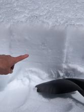
Ski, track, and boot penetration were limited to 2-3" Pointing at the bottom of the 6" surface crust(s) Professional Observer
04/14/2023 - 12:00

Snowpack Observation
Red Lake Peak

Carson Pass Area
East Face of Red Lake Peak with good snow coverage. Recent small wet loose avalanche off of Carson Pass 10:30am @7600' 6'' M/F crust under 1'' of soft surface snow on East aspect. Mostly smooth snow conditions in many areas on E face of Red Lake peak. Forecaster
04/14/2023 - 11:00

Avalanche Observation
Mount Judah

Donner Summit Area
Guide

Blackbird Mountain Guid

Pages