These observations document past conditions at a small and variable scale. They are not to be confused with an avalanche forecast. They come from a variety of sources. We can only vouch for the quality of those produced by the SAC forecasters and professional observers.
Date and time of observation or avalanche occurrence Location Media Observation made by
01/11/2023 - 11:00

Avalanche Observation
Tamarack Peak

Mount Rose Area
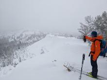
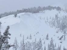
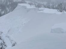
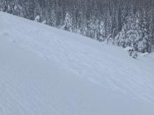
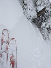
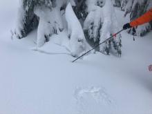
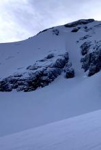
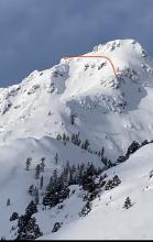
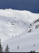
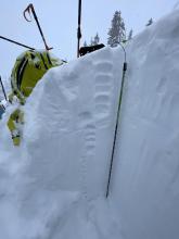
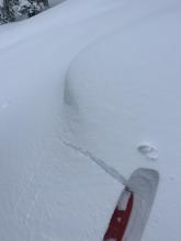
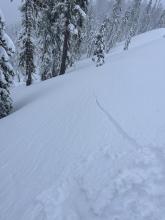
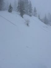
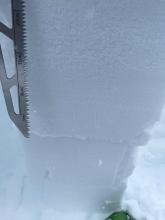
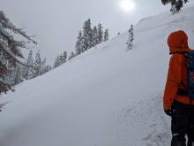
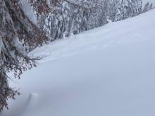
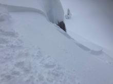
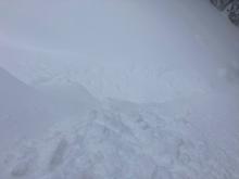
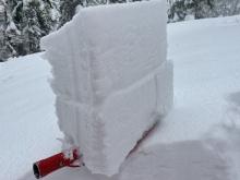
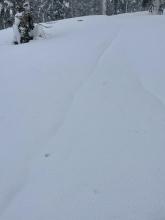
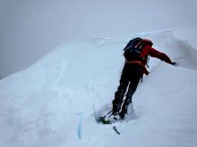
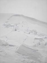
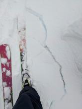
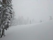
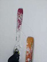
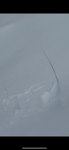
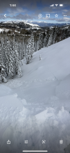
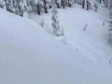
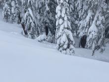
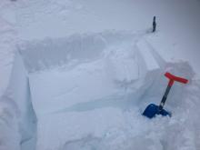
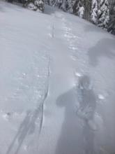
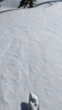
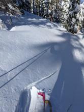
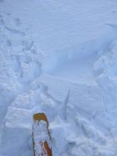
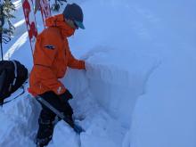
Natural wind slab avalanche with possible cornice collapse as trigger. Natural wind slab avalanche partially covered by additional snow. Natural wind slab avalanche partially covered by additional storm snow. Partially/mostly covered avalanche debris Wind slab test slope failure. Shooting cracks in near treeline wind loaded terrain. Settlement cones forming. Forecaster
01/10/2023 - 20:33

Avalanche Observation
Sisters - Roundtop

Carson Pass Area
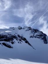
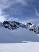
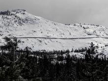
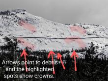
More avalanche crowns in Sisters Cirque Avalanche crown lookers left of Crescent Couloir on Round Top Natural avalanche on E aspect, on wind loaded shoulder. Public
01/10/2023 - 14:00

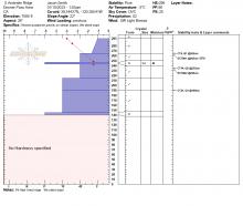
Snowpack Observation
South Andesite Ridge

Donner Summit Area
Educator

Blackbird Mountain Guid
01/10/2023 - 13:00

Avalanche Observation
Schallenberger Ridge

Donner Summit Area
Intentionally triggered storm slab on Schallenberger, D1 Numerous small d1 activity on steeper slopes observed Guide

Alpenglow Expeditio
01/10/2023 - 12:00

Snowpack Observation
Galena Ridge

Mount Rose Area
Public
01/10/2023 - 11:30

Avalanche Observation
Andesite Peak

Donner Summit Area
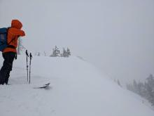
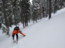
Natural storm slab avalanche failing sometime last night.  Mostly covered by additional storm snow.  Storm slab debris covered by additional storm snow today. Small storm slab intentionally triggered into gully feature. Storm slab avalanche debris into gully feature. Shooting cracks while moving into near treeline terrain with wind loading. Long shooting cracks off of skis in NTL terrain. Large cornices built out along ridges. Forecaster
01/09/2023 - 11:34

Snowpack Observation
Powderhouse Peak

Luther Pass Area (including Job and Freel)
ECTP 21 @ 8500 on NW aspect. WInd slab formation near tree line @ 9100. Instability within new storm snow under wet heavy surface snow. Large wet tree bombs. Multiple layers failing on ECT @ 9100 on NW aspect. Rain runnels @ 7700'. Professional Observer
01/09/2023 - 11:30

Avalanche Observation
Andesite Peak

Donner Summit Area
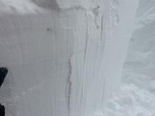
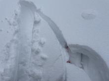
D1 R5 wind slab avalanche trigger by me weighting my skis at the edge of the slope - Near treeline - NE facing. Another view test slope failure. It failed across the entire 75 ft slope. The lookers left side of the wind slab. Cracking around my skis as today's heavier storm snow broke away from yesterday's lighter snow. Blowing and falling snow obscured visibility at times. More cracking in the storm snow between my skis. Forecaster
01/09/2023 - 10:00

Avalanche Observation
Donner Peak

Donner Summit Area
Photo showing several avalanches on Donner Peak. Forecaster
01/08/2023 - 15:30

Snowpack Observation
Spooner Summit

East Shore Area
Public
01/08/2023 - 14:15

Avalanche Observation
NE Andesite Ridge South Peak @ 7,530’

Donner Summit Area
Public
01/08/2023 - 14:00

Snowpack Observation
Silver Peak

Cabin Creek, Deep Creek, or Pole Creek Area
wind effect in near treeline terrain east of Silver Peak Educator

Alpenglow Expeditio
01/08/2023 - 14:00

Avalanche Observation
Andesite Peak

Donner Summit Area
Small natural storm slab avalanche in btl terrain.  Crown partially covered by additional storm snow. Avalanche debris down into trees-covered up by additional storm snow. ECTP-14 on storm slab instability. Skin track refill. Educator

Tahoe Mountain Scho
01/08/2023 - 13:00

Snowpack Observation
Hidden Peak

West Shore Area
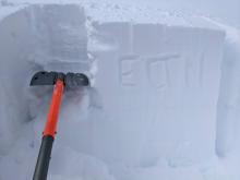
Long shooting crack above a previous ski track in an area where wind affected snow existed in below treeline terrain at about 8400 ft. Some cracking started started to occur in areas where wind affected snow existed even in the trees at 8000 ft. ECTP that failed at the base of the wind affected storm snow on a N-facing, below treeline slope at 8000 ft. A second ECT targeting the Jan 4 rain crust did produce unstable results (ECTN on that layer). Snowpit test targeting the Jan 4 rain crust at 7600 ft on a NE aspect with ECTN results. Soft new snow on top of denser snow on top of lighter snow existed in many areas. Forecaster
01/08/2023 - 12:53

Snowpack Observation
Mt. Rose

Mount Rose Area
Public

Pages