In partnership with: 
| Date and time of observation or avalanche occurrence | Location | Media | Observation made by |
|---|---|---|---|
|
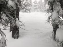
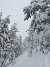
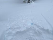
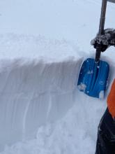
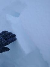
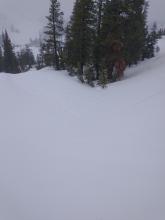
01/01/2023 - 10:00 Snowpack Observation |
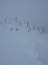
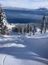
Rubicon Peak East Face West Shore Area |
    |
Public |
|
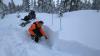
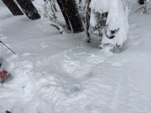
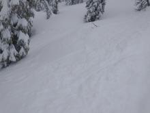
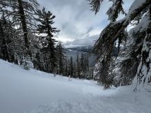
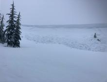
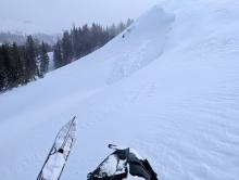
12/31/2022 - 21:33 Avalanche Observation |
Mount Tallac Desolation Wilderness Area (including Emerald Bay) |
    |
Public |
|
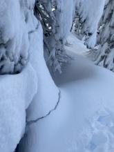
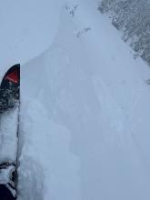
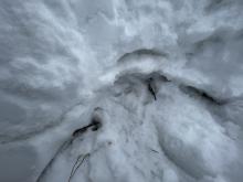
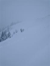
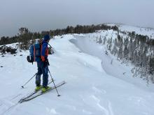
12/31/2022 - 15:45 Avalanche Observation |
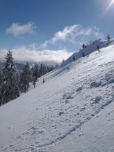
Rubicon peak West Shore Area |
 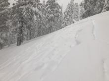 |
Public |
|
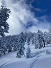
12/31/2022 - 15:00 Snowpack Observation |
Powderhouse Peak Luther Pass Area (including Job and Freel) |
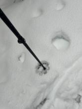     |
Professional Observer |
|
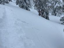
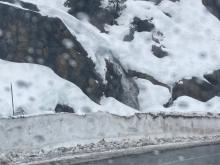
12/31/2022 - 14:00 Avalanche Observation |
Highway Patrol Chutes Cabin Creek, Deep Creek, or Pole Creek Area |
Public | |
|
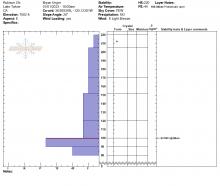
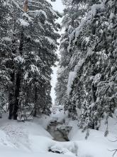
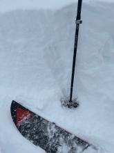
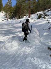
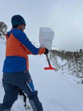
12/31/2022 - 13:31 Snowpack Observation |
Andesite Donner Summit Area |
  |
Guide Alpenglow Expeditio |
|
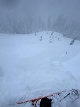
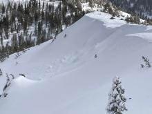
12/31/2022 - 12:00 Avalanche Observation |
Andesite Peak Donner Summit Area |
 |
Forecaster |
|
12/31/2022 - 11:00 Snowpack Observation |
Hidden Peak West Shore Area |
        |
Public |
|
12/31/2022 - 06:00 Avalanche Observation |
Jakes Peak West Shore Area |
   |
Forecaster |
|
12/31/2022 - 06:00 Avalanche Observation |
Herlan Peak East Shore Area |
         |
Public |
|
12/30/2022 - 10:11 Snowpack Observation |
N. Carson Pass Carson Pass Area |
     |
Professional Observer |
|
12/30/2022 - 06:00 Avalanche Observation |
Mt. Judah Donner Summit Area |
       |
Forecaster |
|
12/29/2022 - 12:58 Snowpack Observation |
Donner Peak, NE aspect @ 7,200' Donner Summit Area |
    |
Guide Blackbird Mountain Guid |
|
12/29/2022 - 12:00 Snowpack Observation |
Blue Lakes Carson Pass Area |
|
Professional Observer |
|
12/29/2022 - 11:30 Snowpack Observation |
East Ridge of Tamarack Peak Mount Rose Area |
    |
Forecaster |


This website is owned and maintained by the non-profit arm of the Sierra Avalanche Center. Some of the content is updated by the USDA avalanche forecasters including the forecasts and some observational data. The USDA is not responsible for any advertising, fund-raising events/information, or sponsorship information, or other content not related to the forecasts and the data pertaining to the forecasts.