These observations document past conditions at a small and variable scale. They are not to be confused with an avalanche forecast. They come from a variety of sources. We can only vouch for the quality of those produced by the SAC forecasters and professional observers.
Date and time of observation or avalanche occurrence Location Media Observation made by
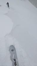
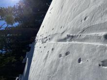
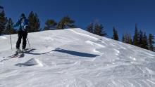
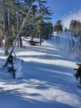
12/24/2021 - 09:48

Avalanche Observation
East of Silver Peak

Cabin Creek, Deep Creek, or Pole Creek Area
Public
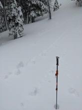
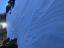
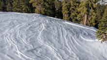
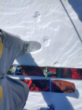
12/23/2021 - 17:00

Snowpack Observation
Burnt Glades

Echo Summit Area
Public
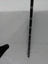
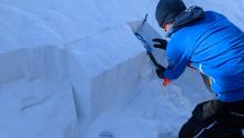
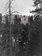
12/23/2021 - 13:00

Snowpack Observation
Powderhouse

Luther Pass Area (including Job and Freel)
Periods of blizzard conditions. 3-4" of new snow @ 7600' @ 10:00am Pit profile. ECTP 29 that did not repeat itself in two more tests after. Large Facet trending towards rounding at bottom of pack. Moist semi-compressible snow within the bottom 30cm. Skin track filling in fast from blowing snow. Professional Observer
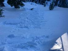
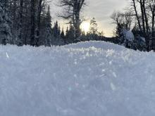
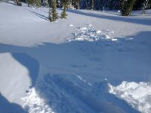
12/23/2021 - 12:00

Avalanche Observation
Andesite Peak

Donner Summit Area
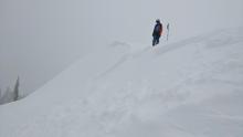
The largest wind slab we saw. It was triggered by a backpack size piece of cornice kicked onto the slope. Another view of that same avalanche. The crown was about 1 ft deep at the deepest. Two smaller wind slab on a nearby test slope. The lower one was triggered by a ski kick and the upper one by an oven sized piece of cornice. Alternate view of the test slope avalanches. The crown height on these was between 8 and 12 inches. Forecaster
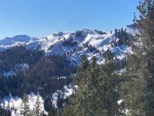
12/23/2021 - 10:30

Snowpack Observation
Elephant's Hump

Carson Pass Area
Professional Observer
12/22/2021 - 13:30

Snowpack Observation
North Carson Pass

Carson Pass Area
Large cornice build up and recent debris pile. Shovel tilt displaying top 10cm of new snow failing on buried surface hoar. Top 10cm of snow wet and compressible. Intermittent waves of sunshine and snow throughout the day. Precipitation particles were mostly small flakes and sometimes small ice pellets like shown here. Professional Observer
12/22/2021 - 12:00

Snowpack Observation
Tamarack Peak

Mount Rose Area
6-8 inch deep wind slab on a small wind-loaded test slope. Newly formed 6-8 inch deep wind slab on a small wind-loaded test slope. Another small wind slab failure on a wind-loaded test slope. Skier triggered shooting crack in a wind-loaded area near the ridge. Forecaster
12/21/2021 - 22:35

Snowpack Observation
Independence Lake

Independence Lake Area
Snow available for transport.  Skin track re-fill Wind effect. Public
12/21/2021 - 12:00

Snowpack Observation
Deep Creek

Cabin Creek, Deep Creek, or Pole Creek Area
Dropping a firm cornice block onto a slope with minor cracking. Large surface hoar observed on northerly aspects below 7000' View into upper Pole Creek Wind affected surfaces near the ridgeline. Wind affected surfaces near the ridgeline. ECTN results while testing the hard wind slab on a wind-loaded test slope. Forecaster
12/20/2021 - 15:00

Snowpack Observation
Blackwood Canyon

Blackwood Canyon or Ward Canyon Area
Public
12/20/2021 - 12:00

Snowpack Observation
Incline Peak

Mount Rose Area
Evidence of blowing and drifting snow from yesterday. 1F+ hard wind slab over F hard old snow. 1F+ hard wind slab over F hard old snow with ECTP-8 result. Forecaster
12/20/2021 - 11:00

Snowpack Observation
Silver Peak

Cabin Creek, Deep Creek, or Pole Creek Area
ECTP-12 on a P hard wind slab over 4F softer snow, 1 foot deep.  N aspect, 30 degree slope, just off ridgeline. New small wind deposits cracking with the weight of a skier No cornices built out on this ridge with wind scouring occurring 40-60 feet downslope Raised tracks and wind texture in open areas well below treeline terrain Forecaster
12/20/2021 - 10:30

Snowpack Observation
Crater Lake Road

Carson Pass Area
Reverse skin tracks in open areas Cracks propagating through wind slab on test slope Stevens Peak is quite wind-scoured Public
12/20/2021 - 06:30

Snowpack Observation
Lower Scott peak

Five Lakes Area
Public
12/19/2021 - 23:00

Snowpack Observation
Carpenter Ridge

Independence Lake Area
Wind transport at 10:30AM. Old snowmobile track Wind loading with strong SW winds. Boot penetration to boot top. Illustrates snow available for transport. Small wind slab 8-10cm. Possible old crown.  Distance and lighting minimized our ability to discern details.  Arrows indicate crown. Public

Pages