These observations document past conditions at a small and variable scale. They are not to be confused with an avalanche forecast. They come from a variety of sources. We can only vouch for the quality of those produced by the SAC forecasters and professional observers.
Date and time of observation or avalanche occurrence Location Media Observation made by
04/08/2019 - 02:45

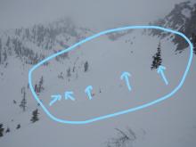
Avalanche Observation
South Fork, Creek Drainage

Mount Rose Area
Public
04/08/2019 - 01:00

Avalanche Observation
Donner Peak

Donner Summit Area
Public
04/07/2019 - 12:00

Snowpack Observation
Stevens Peak

Carson Pass Area
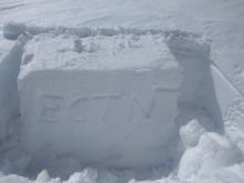
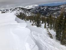
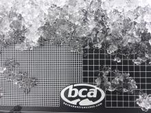
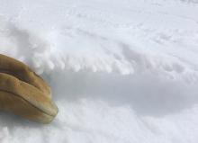
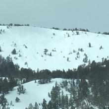
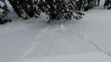
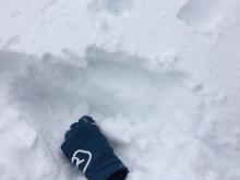
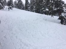
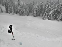
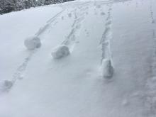
Mostly sunny skies, warm temps, with thin high cloud cover and strong SW winds. ECTN on wind loaded test slope at 8900', NE aspect.  Roller ball activity along with some small loose wet avalanches. Weak wet snow that failed with a ski turn on lower angle terrain. Forecaster
04/06/2019 - 12:30

Avalanche Observation
Waterhouse Peak

Luther Pass Area (including Job and Freel)
Public
04/06/2019 - 10:00

Snowpack Observation
Andesite Peak

Donner Summit Area
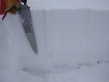
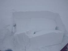
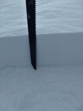
About 4 inches of storm snow on top of weak crust and F hard wet snow at 7,300'. Minor cracking of wind slab. 35 cm of wind slab on top of weak crust and F hard wet snow. E aspect at about 8,100' in terrain with above treeline characteristics. Repeatable ECTP-12 down 25 cm within 35 cm of wind slab on E aspect at 8,100'. Foggy conditions above about 7,800'. Forecaster
04/05/2019 - 12:00

Snowpack Observation
Mt. Tallac

Desolation Wilderness Area (including Emerald Bay)
Minimal snow surface refreeze at trailhead at 10am (6,520'). Signs of small (D1) loose wet avalanches from past couple of days on E aspect. Signs of accumulating snowfall on crust at 7,800'. Signs of wind slab up to 6 inches deep upon nearing summit ridge in near treeline terrain. Wind slab on summit ridge a the top of Corkscrew avalanche path. 10 inch wind slab of upside down snow (4F+ to F hard) on top of P+ hard crust. Forecaster
04/04/2019 - 13:00

Snowpack Observation
Johnson Canyon

Donner Summit Area
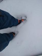
Cracking/punching on ascent Wet, granular snow on surface at lower elevation Rounds are ~2mm Hand pit showing saturated snow with ~2cm layer of newer snow on top Roller balls on East facing aspect across canyon Public
04/04/2019 - 12:15

Snowpack Observation
Genoa Peak

East Shore Area
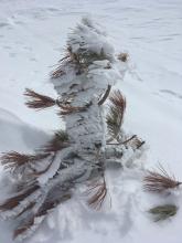
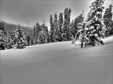
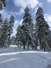
Rime covered tree in a windy location near Genoa Peak. Rime covered sastrugi growing into the west winds. Professional Observer
04/03/2019 - 14:30

Avalanche Observation
Tamarack Lakes Trailhead

Mount Rose Area
Human triggered loose wet avalanches on Prolitariate Bowl. Loose wet avalanche activity on Fireplug. Forecaster
04/03/2019 - 12:00

Avalanche Observation
Twin Peaks

Blackwood Canyon or Ward Canyon Area
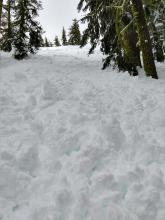
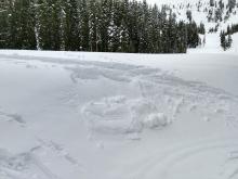
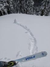
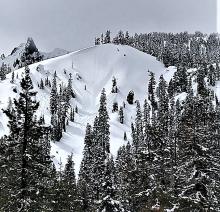
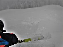
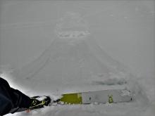
This ski cut triggered D1 loose wet avalanche released on a NNW aspect at Debris from the ski cut triggered loose wet avalanche in the previous photo A ski cut triggered this loose wet sluff on a small test slope. The first pinwheel we triggered on a SE aspect at 7600 ft. Large pinwheels on a SE facing slope at 8300 ft. Recent natural loose wet activity on a NE facing slope between 7800 and 7400 ft. Snowpit showing new heavy snow on top of wet snow. Snowline was about 6800 ft. You can see snow in the trees above that elevation. Forecaster
04/03/2019 - 11:00

Snowpack Observation
Ophir Peak

Mount Rose Area
ECTP-12 on wind slab 14'' deep.  N aspect, 9200'. At 9700', N aspect small loose wet activity started to occur with hybrid slab characteristics. A series of rain crusts/wet snow during the storm with 2'' of snow on top.  8500', N aspect. Widespread small roller ball activity with ski turns below 8600'. Forecaster
04/03/2019 - 02:00

Avalanche Observation
Trimmer Peak (South of Monument Peak) East Slope

Outside of the Forecast Area
Trimmer Peak East Slope Avalanches Public
04/02/2019 - 11:00

Avalanche Observation
Andesite Peak

Donner Summit Area
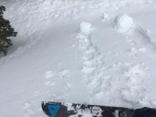
Ski cut triggered D1.5-D2 Loose wet avalanche Ski kick triggered loose wet sluff on a steep test slope. Ski kick triggered loose wet sluff on a steep test slope. Barely covered rain runnels in a meadow. Forecaster
04/02/2019 - 11:00

Avalanche Observation
Donner Peak

Donner Summit Area
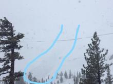
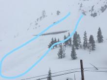
D2 loose wet natural avalanche that ran 400-600'+. D1 loose wet natural avalanche Forecaster
04/02/2019 - 10:00

Snowpack Observation
Echo Lake

Echo Summit Area
A fleeting dash of blue this morning, showing the new snow on the ground and trees. Ski triggered loose wet roller ball activity on a steeper slope. Looking up at the ski triggered loose wet activity. Examining the new snow. Excavated line below the surface was the most wet layer. Recent cohesive roof shedding. I skinned right by this on 3/28 and the snow was still on the roof. Professional Observer

Pages