These observations document past conditions at a small and variable scale. They are not to be confused with an avalanche forecast. They come from a variety of sources. We can only vouch for the quality of those produced by the SAC forecasters and professional observers.
Date and time of observation or avalanche occurrence Location Media Observation made by
03/23/2019 - 12:15

Avalanche Observation
Plavada

Outside of the Forecast Area
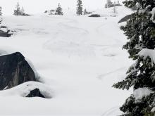
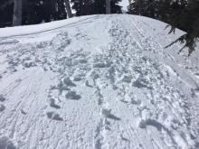
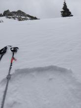
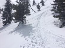
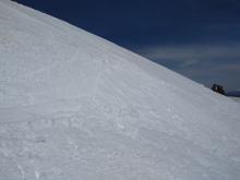
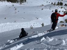
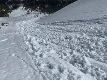
Skier triggered loose wet on a steeper rollover. Loose wet failure on a test slope Public
03/23/2019 - 12:00

Snowpack Observation
Castle Peak

Donner Summit Area
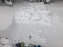
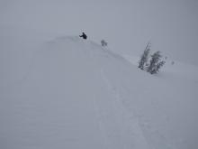
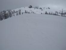
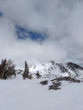
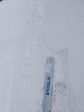
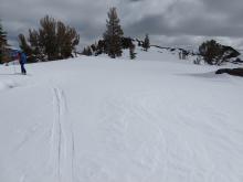
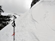
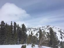
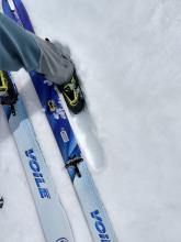
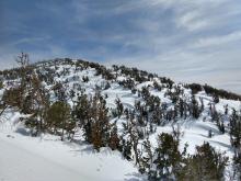
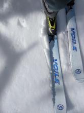
6 inches of new snow overnight on the Castle Rd. Well bonded to crust at old/new interface. Ski cut on this a several other wind loaded test slopes produced no results. Enough drifting snow to refill our up track near Castle Pass. 4f hard sun crust on E slopes of Andesite after a period of thinning cloud cover. Forecaster
03/23/2019 - 11:45

Avalanche Observation
Incline Lake Peak

Mount Rose Area
Public
03/22/2019 - 11:00

Snowpack Observation
Silver Peak

Cabin Creek, Deep Creek, or Pole Creek Area
Cloud cover over the forecast area limiting snow surface melt. About 1 cm on recent storm snow over crust on N-NE aspects. Forecaster
03/21/2019 - 16:00

Snowpack Observation
Eagle Lake

Desolation Wilderness Area (including Emerald Bay)
Glide Crack in top of underlying granite slab Public
03/21/2019 - 12:15

Snowpack Observation
Martis Valley West

Mount Rose Area
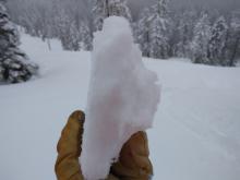
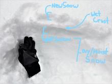
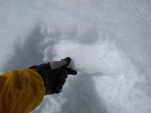
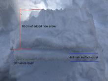
Constant cracking while skinning Trees holding a dusting of snow on their north faces, beginning at 6800ft Ski penetration 3-4in Layers marked are (from top): new/old snow interface, very weak layer, beginning of melt/freeze snow, end of melt/freeze snow Rounds taken from melt/freeze layer, mostly 1mm diameter, but stuck together in 3-5mm balls Break from crude shovel shear test Public
03/21/2019 - 12:00

Snowpack Observation
Tamarack Peak

Mount Rose Area
Very small roller balls on a 20 degree slope. None were observed larger than a billiard ball all day. 15cm of fist hardness storm snow on top of 20cm of 1F snow, under that pencil hardness. ECTN6. New storm snow would fracture at the new/old snow interface, but no propagation occurred. Small cornices at the top of hourglass bowl, NE aspect Public
03/21/2019 - 12:00

Snowpack Observation
Elephants Back

Carson Pass Area
Very small roller balls as daytime warming occurred at noon. Sun patches throughout the day with periods of full sun. Very small cracking in wind loaded terrain. Minor wind scouring along Frog Lake Ridge. Forecaster
03/20/2019 - 16:30

Avalanche Observation
Castle Peak

Donner Summit Area
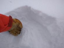
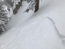
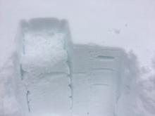
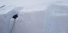
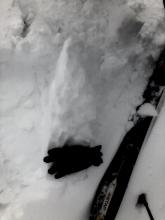
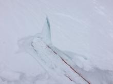
Wind slab from a hand pit. This slab was 5 inches thick. While it did not break super cleanly, it did break with minimal force. This photo shows the slab rotated up 90 degrees. Public
03/20/2019 - 12:30

Snowpack Observation
Rubicon Peak

West Shore Area
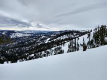
4 inches of wind affected snow near the summit of Rubicon Small inconsequential wind slab near the summit of Rubicon Upper snowpack at around 8000 ft. on an E aspect on Rubicon Cloudy skies looking N from Rubicon. Forecaster
03/20/2019 - 12:00

Snowpack Observation
Tamarack Peak

Mount Rose Area
New snow became sticky when the sun came out with small roller balls. Up to 6'' wind slabs showed minor cracking in the most wind loaded areas. Thick high cloud cover existed throughout the morning hours. Periods of sun with blue skies started around 1pm. Forecaster
03/19/2019 - 12:30

Snowpack Observation
Slide Mountain

Mount Rose Area
Small loose wet instability on a S facing test slope at 9200 ft at 12:50 pm. Ankle deep wet snow on a S facing slope at 8000 ft. at 1 pm Wind affected snow on a N - NW aspect at around 9400 ft. Breakable crust on a N facing slope at 9000 ft. Forecaster
03/19/2019 - 12:00

Snowpack Observation
Mt. Judah

Donner Summit Area
Signs of creep behind cornices. S aspect test slope at ~8,100' showing the presence of loose wet avalanche problem at noon. 6" thick surface melt-freeze layer with supportable crust separating wet snow from dry snow below. Wet snow surface layer at 7,800' on S aspect barely still ski supportable but with near boot top penetration at 12:30pm. Forecaster
03/19/2019 - 11:00

Snowpack Observation
Donner Summit

Donner Summit Area
Photo of the compression test failure we saw in the artificially loaded tests on a shade N aspect. Public
03/18/2019 - 14:30

Avalanche Observation
Hank's Coulior

Mount Rose Area
Public

Pages