These observations document past conditions at a small and variable scale. They are not to be confused with an avalanche forecast. They come from a variety of sources. We can only vouch for the quality of those produced by the SAC forecasters and professional observers.
Date and time of observation or avalanche occurrence Location Media Observation made by
10/25/2021 - 14:00

Snowpack Observation
Sunrise Bowl

Donner Summit Area
Public
10/25/2021 - 12:20

Snowpack Observation
Fireplug

Mount Rose Area
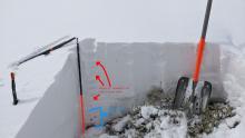
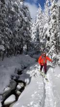
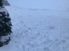
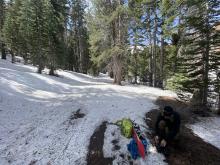
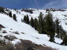
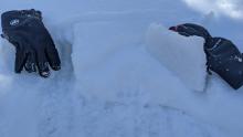
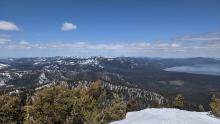
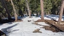
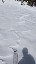
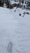
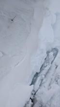
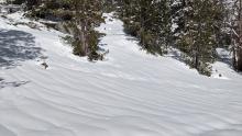
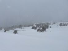
A quick test pit on an E facing slope at 8650 ft. Numerous bushes, rocks, and other obstacles poking through the snow. Wind affected area near treeline. Wind ripples on an E facing aspect at about 8600 ft. Open flowing creeks existed in several areas. Forecaster
10/25/2021 - 12:00

Avalanche Observation
Grouse Rock

Blackwood Canyon or Ward Canyon Area
Public
04/30/2021 - 13:20

Avalanche Observation
Red lake peak

Carson Pass Area
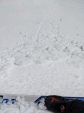
Patchy snow coverage starting at around 8000’ where we transitioned from hiking to skinning Widespread roller ball and point release activity in NE bowl Threw a small snow ball that result in a large loose/wet slide on a roughly 35 degree start zone Public
04/28/2021 - 12:00

Avalanche Observation
Donner Peak

Donner Summit Area
Guide

Tahoe Mountain Scho
04/26/2021 - 13:55

Avalanche Observation
Stevens Peak

Carson Pass Area
Public
04/17/2021 - 11:00

Snowpack Observation
Mt. Judah

Donner Summit Area
Rough snow surface conditions on the E face of Mt. Judah. Isolated small pockets of recent storm snow that had yet to undergo melt were encountered on the approach. 2-3 inches of of surface wet snow on top of supportable crust mid slope (~8,000') on E aspect terrain at 11 am. Rough snow surface conditions on the south side of Mt. Judah. Forecaster
04/16/2021 - 12:00

Snowpack Observation
Rubicon Peak

West Shore Area
Small skier triggered roller balls on an E facing slope near the summit of Rubicon Peak Breakable crust on top of still dry storm snow on top of the old mel-freeze crust on a N aspect at 8700 ft on Rubicon Peak Clouds starting to build on the horizon at noon. Patchy snow coverage on a N aspect at 7500 ft. Forecaster
04/16/2021 - 10:00

Snowpack Observation
Black Butte

Carson Pass Area
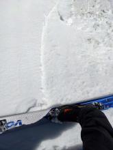
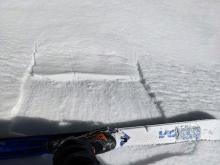
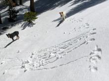
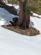
Consistent results on test slopes at the very shallow new/old interface Consistent results on test slopes at the very shallow new/old interface Consistent results on test slopes at the very shallow new/old interface Doggie initiated roller balls Melting snowpack on an E aspect at 8500ft Cloud cover building over Red Lake and Stevens Peaks. Patch skiing season on their S and W aspects Professional Observer
04/15/2021 - 11:15

Snowpack Observation
Andesite Peak

Donner Summit Area
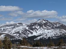
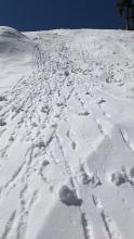
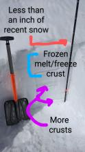
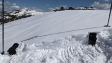
Small rollerballs and pinwheels made of the storm snow on an E aspect on Andesite Peak Less than an inch of recent snow on top of older melt/freeze layers Small, shallow wind drifted snow on a W aspect near the summit of Andesite Signs of wind NE wind scouring Snow coverage on the SW and W aspects on Castle Peak Breakable crusts were widespread on Andesite in the morning. Forecaster
04/14/2021 - 16:30

Snowpack Observation
Tamarack Peak

Mount Rose Area
Breakable sun crust had formed on all but the shaded true N aspects by 4 pm. Signs of NE wind scouring and SW wind loading/cornice building on the ridges. NE wind scouring on a NE facing slope near 9800 ft. NE wind drifted snow on a SW aspect at 9800 ft. This drift did not extend very far away from the ridge. Runnels indicating melting and drainage in the new snow by the afternoon. Forecaster
04/14/2021 - 15:00

Snowpack Observation
Elephant's Hump Area

Carson Pass Area
Public
04/14/2021 - 13:17

Snowpack Observation
Elelphant's Back

Carson Pass Area
Snow storm @ 12:30 with S-1 snowfall. Grapuel on surface of new snow. 2-3" of new snow @ 8500' No new build up on cornices. Poor bonding of new/old snow interface. New snow sloughing off old snow interface. Hand pit showing no slab properties and poor bonding at interface. Clumping snow on skis. Professional Observer
04/14/2021 - 13:00

Avalanche Observation
Tamarack Peak

Mount Rose Area
Public
04/13/2021 - 11:00

Snowpack Observation
Mt. Judah

Donner Summit Area
Cloud buildup to the E at 10am. Firm snow conditions on most all aspects. Soft snow on wind protected E aspects by late morning in open BTL terrain Clouds starting to build to the E over Mt. Rose at 9am Forecaster

Pages