


For 7000 ft. to 8000 ft.
| Saturday | Saturday Night | Sunday | |
|---|---|---|---|
| Weather: | Cloudy with occasional snow showers | Mostly cloudy with snow likely in the evening and a chance of snow continuing after midnight | Mostly cloudy |
| Temperatures: | 27 to 34 deg. F. | 16 to 22 deg. F. | 27 to 34 deg. F. |
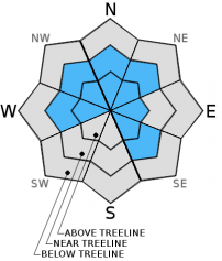
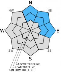
| Mid Slope Winds: | Southwest | Northwest | Northwest |
| Wind Speed: | 15 to 25 mph with gusts to 40 mph | 10 to 20 mph | 10 to 15 mph with gusts to 25 mph in the morning becoming light in the afternoon |
| Expected snowfall: | 1 to 3 | up to 2 | 0 |
For 8000 ft. to 9000 ft.
| Saturday | Saturday Night | Sunday | |
|---|---|---|---|
| Weather: | Cloudy with occasional snow showers | Mostly cloudy with snow likely in the evening and a chance of snow continuing after midnight | Mostly cloudy |
| Temperatures: | 24 to 31 deg. F. | 10 to 17 deg. F. | 23 to 30 deg. F. |
| Ridge Top Winds: | Southwest | Southwest shifting to north after midnight | North |
| Wind Speed: | 40 to 50 mph with gusts to 75 mph | 30 to 35 mph with gusts to 55 mph decreasing to 15 to 20 mph with gusts to 30 mph after midnight | 15 to 20 mph with gusts to 35 mph decreasing to 25 mph in the afternoon |
| Expected snowfall: | 1 to 3 | up to 2 | 0 |


