The last avalanche forecast for the 2023-2024 season posted on April 21st. Thank you to all who contributed to the avalanche center this season through observations, volunteer time, and/or financial contributions.
In partnership with: 
The last avalanche forecast for the 2023-2024 season posted on April 21st. Thank you to all who contributed to the avalanche center this season through observations, volunteer time, and/or financial contributions.
| Date and time of observation or avalanche occurrence | Location | Media | Observation made by |
|---|---|---|---|
|
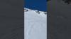
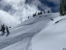
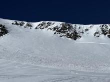
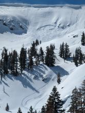
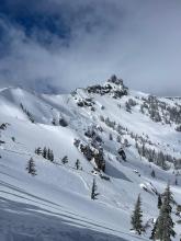
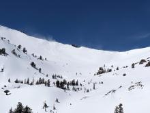
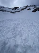
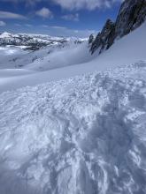
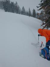
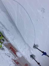
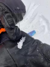
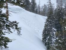
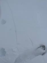
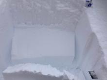
03/19/2023 - 13:00 Avalanche Observation |
Mount Judah Donner Summit Area |
 |
Public |
|
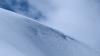
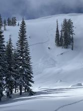
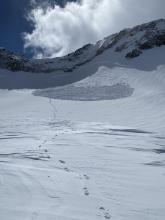
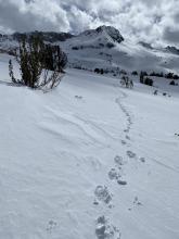
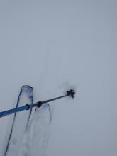
03/20/2023 - 09:10 Avalanche Observation |
Ralston Peak Desolation Wilderness Area (including Emerald Bay) |
 |
Public |
|
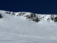
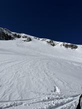
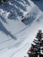
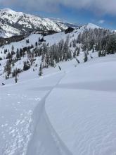
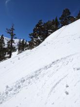
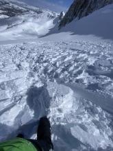
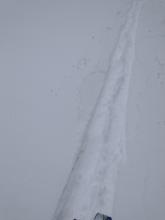
03/20/2023 - 10:00 Avalanche Observation |
My Judah Donner Summit Area |
   |
Public |
|
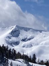
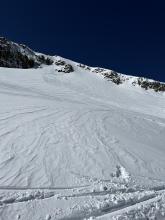
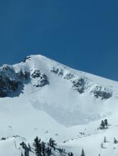
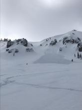
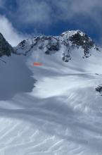
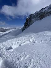
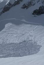
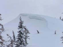
03/20/2023 - 11:20 Avalanche Observation |
Stevens Peak Carson Pass Area |
|
Public |
|
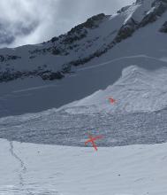
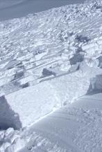
03/20/2023 - 12:00 Avalanche Observation |
Forestdale Divide Carson Pass Area |
|
Professional Observer |
|
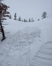
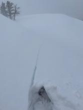
03/20/2023 - 12:30 Avalanche Observation |
North Bowl Castle Peak Donner Summit Area |
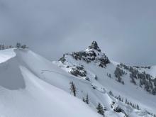        |
Educator NORTH AMERICAN SKI TRAINING AND CLIMBI |
|
03/20/2023 - 13:00 Avalanche Observation |
Stevens Peak Carson Pass Area |
     |
Forecaster |
|
03/20/2023 - 13:15 Avalanche Observation |
Jakes Peak Desolation Wilderness Area (including Emerald Bay) |
 |
Public |
|
03/20/2023 - 13:45 Avalanche Observation |
Round Top Peak Carson Pass Area |
            |
Public |
|
03/20/2023 - 14:30 Avalanche Observation |
Melissa Coray - Emigrant Bowl Carson Pass Area |
Public | |
|
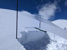
03/21/2023 - 12:00 Snowpack Observation |
Silver Peak Cabin Creek, Deep Creek, or Pole Creek Area |
      |
Forecaster |
|
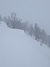
03/21/2023 - 15:00 Snowpack Observation |
Powderhouse Peak Luther Pass Area (including Job and Freel) |
       |
Professional Observer |
|
03/22/2023 - 04:00 Snowpack Observation |
Galena Ridge Mount Rose Area |
  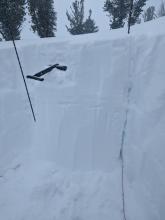   |
Public |
|
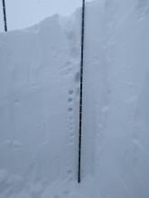
03/22/2023 - 12:00 Snowpack Observation |
Tragedy Springs Carson Pass Area |
   |
Professional Observer |
|
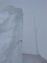
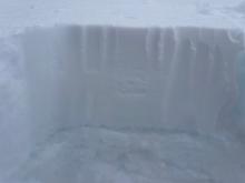
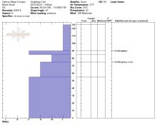
03/22/2023 - 13:00 Snowpack Observation |
Castle Peak Donner Summit Area |
     |
Forecaster |


This website is owned and maintained by the non-profit arm of the Sierra Avalanche Center. Some of the content is updated by the USDA avalanche forecasters including the forecasts and some observational data. The USDA is not responsible for any advertising, fund-raising events/information, or sponsorship information, or other content not related to the forecasts and the data pertaining to the forecasts.