The last avalanche forecast for the 2023-2024 season will post on April 21st. Thank you to all who contributed to the avalanche center this season through observations, volunteer time, and/or financial contributions.
In partnership with: 
The last avalanche forecast for the 2023-2024 season will post on April 21st. Thank you to all who contributed to the avalanche center this season through observations, volunteer time, and/or financial contributions.
| Date and time of observation or avalanche occurrence | Location | Media | Observation made by |
|---|---|---|---|
|
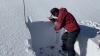
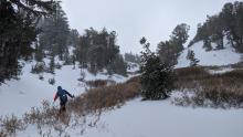
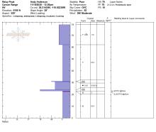
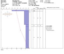
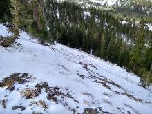
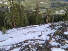
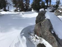
11/19/2020 - 11:00 Snowpack Observation |
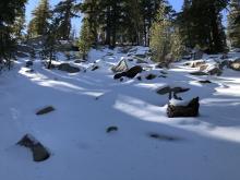
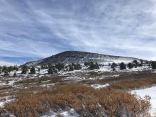
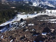
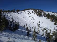
Castle Peak Donner Summit Area |
      |
Forecaster |
|
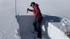
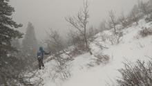
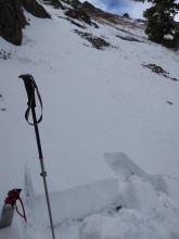
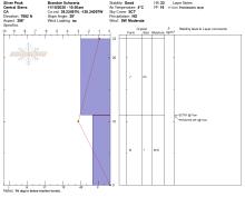
11/19/2020 - 10:00 Snowpack Observation |
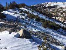
Tamarack Mount Rose Area |
Public | |
|
11/19/2020 - 09:00 Snowpack Observation |
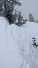
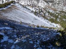
Grouse Rock Blackwood Canyon or Ward Canyon Area |
 ,
,
|
Educator Tahoe Mountain Scho |
|
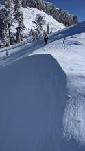
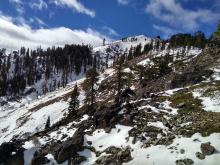
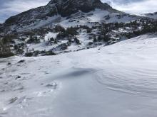
11/18/2020 - 11:30 Snowpack Observation |
Relay Peak Mount Rose Area |
       |
Forecaster |
|
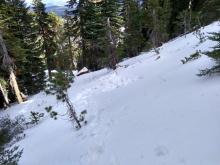
11/18/2020 - 09:00 Snowpack Observation |
Grouse Rock Blackwood Canyon or Ward Canyon Area |
  |
Guide Tahoe Mountain Scho |
|
11/18/2020 - 07:30 Snowpack Observation |
Donner ridge. Donner Summit Area |
 |
Public |
|
11/17/2020 - 12:30 Snowpack Observation |
Elephant's Hump Carson Pass Area |
   |
Forecaster |
|
11/16/2020 - 12:15 Snowpack Observation |
Incline Peak Mount Rose Area |
    |
Public |
|
11/16/2020 - 11:00 Snowpack Observation |
Relay Peak Mount Rose Area |
    |
Forecaster |
|
11/15/2020 - 10:30 Snowpack Observation |
Silver Peak Cabin Creek, Deep Creek, or Pole Creek Area |
      |
Forecaster |
|
11/14/2020 - 13:00 Snowpack Observation |
Winnemucca Lake Carson Pass Area |
    |
Public |
|
11/14/2020 - 11:15 Snowpack Observation |
Becker Ridge Echo Summit Area |
      |
Forecaster |
|
11/12/2020 - 11:00 Snowpack Observation |
Andesite Peak Donner Summit Area |
    |
Forecaster |
|
11/12/2020 - 08:00 Snowpack Observation |
High Meadows Luther Pass Area (including Job and Freel) |
 |
Public |
|
11/10/2020 - 11:15 Snowpack Observation |
Tamarack Peak Mount Rose Area |
      |
Forecaster |


This website is owned and maintained by the non-profit arm of the Sierra Avalanche Center. Some of the content is updated by the USDA avalanche forecasters including the forecasts and some observational data. The USDA is not responsible for any advertising, fund-raising events/information, or sponsorship information, or other content not related to the forecasts and the data pertaining to the forecasts.