

The last avalanche forecast for the 2023-2024 season posted on April 21st. Thank you to all who contributed to the avalanche center this season through observations, volunteer time, and/or financial contributions.
In partnership with: 
The last avalanche forecast for the 2023-2024 season posted on April 21st. Thank you to all who contributed to the avalanche center this season through observations, volunteer time, and/or financial contributions.
| Date and time of observation or avalanche occurrence | Location | Media | Observation made by |
|---|---|---|---|
|
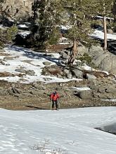
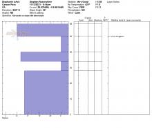
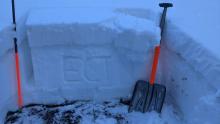
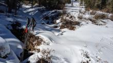
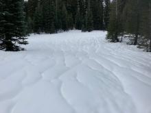
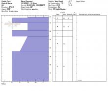
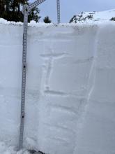
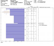
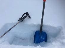
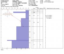
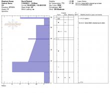
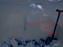
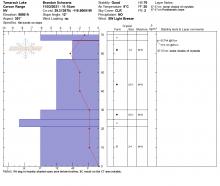
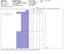
11/14/2021 - 14:32 Snowpack Observation |
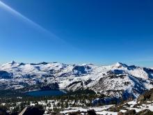
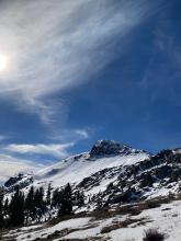
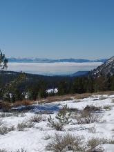
Red lake peak Carson Pass Area |
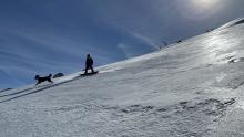   |
Guide Blackbird Mountain Guid |
|
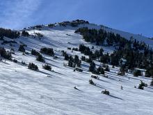
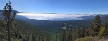
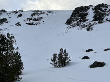
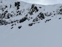
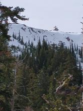
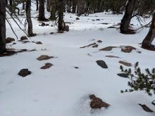
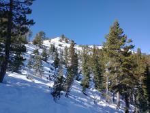
11/13/2021 - 11:30 Snowpack Observation |
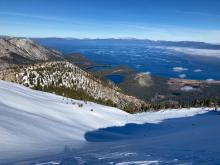
Mt. Tallac Desolation Wilderness Area (including Emerald Bay) |
    |
Professional Observer |
|
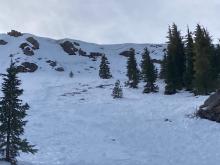
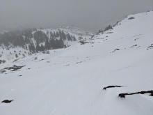
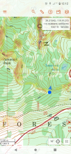
11/13/2021 - 09:00 Snowpack Observation |
Elephant's Back Carson Pass Area |
   |
Public |
|
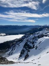
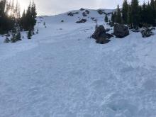
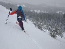
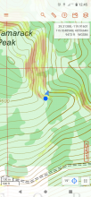
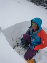
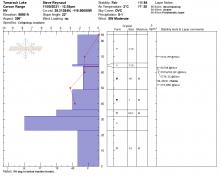
11/12/2021 - 11:00 Snowpack Observation |
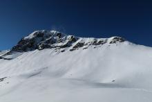
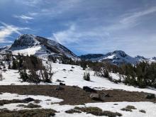
East Ridge of Tamarack Peak Mount Rose Area |
     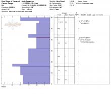 |
Forecaster |
|
11/10/2021 - 12:00 Snowpack Observation |
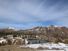
Castle Peak Donner Summit Area |
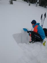     |
Forecaster |
|
11/10/2021 - 08:20 Snowpack Observation |
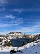
Thunder Mountain Carson Pass Area |
 |
Public |
|
11/09/2021 - 15:26 Snowpack Observation |
Elephants back Carson Pass Area |
      |
Guide Blackbird Mountain Guid |
|
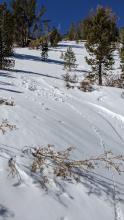
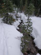
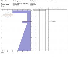
11/09/2021 - 15:00 Avalanche Observation |
Peak 8620' Blackwood Canyon or Ward Canyon Area |
  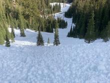    |
Forecaster |
|
11/09/2021 - 13:00 Snowpack Observation |
Elephants Back Carson Pass Area |
   |
Professional Observer |
|
11/09/2021 - 12:00 Snowpack Observation |
Tamarack Peak Mount Rose Area |
    |
Forecaster |
|
11/08/2021 - 13:00 Snowpack Observation |
Porthole Gap Carson Pass Area |
      |
Professional Observer |
|
11/07/2021 - 11:49 Snowpack Observation |
Tamarack peak Mount Rose Area |
   |
Public |
|
11/05/2021 - 11:00 Snowpack Observation |
Elephant's Hump Carson Pass Area |
       |
Professional Observer |
|
11/03/2021 - 11:15 Snowpack Observation |
Tamarack Peak - Far East Ridge Mount Rose Area |
     |
Forecaster |
|
11/02/2021 - 11:50 Snowpack Observation |
Castle Peak Donner Summit Area |
   |
Forecaster |


This website is owned and maintained by the non-profit arm of the Sierra Avalanche Center. Some of the content is updated by the USDA avalanche forecasters including the forecasts and some observational data. The USDA is not responsible for any advertising, fund-raising events/information, or sponsorship information, or other content not related to the forecasts and the data pertaining to the forecasts.