In partnership with: 
| Date and time of observation or avalanche occurrence | Location | Media | Observation made by |
|---|---|---|---|
|
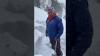
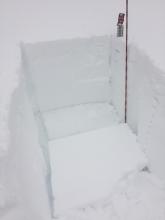
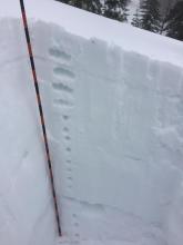
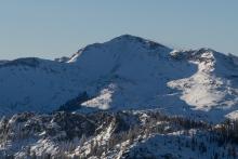
01/05/2021 - 01:00 Snowpack Observation |
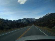
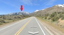
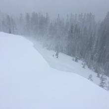
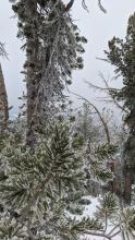
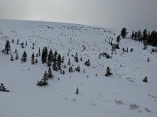
Jake's Peak, SSE aspect below Emerald Bay Chutes West Shore Area |
Public | |
|
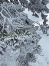
01/04/2021 - 15:00 Snowpack Observation |
Grouse Rock Blackwood Canyon or Ward Canyon Area |
  |
Guide Tahoe Mountain Scho |
|
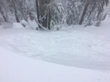
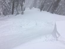
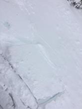
01/04/2021 - 14:00 Avalanche Observation |
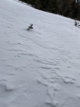
Dicks Peak Desolation Wilderness Area (including Emerald Bay) |
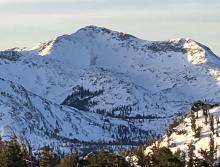     |
Forecaster |
|
01/04/2021 - 14:00 Snowpack Observation |
Hawkins Peak Carson Pass Area |
  |
Forecaster |
|
01/04/2021 - 12:15 Snowpack Observation |
Shoulder of Tamarack Peak Mount Rose Area |
Public | |
|
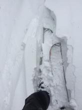
01/04/2021 - 12:00 Avalanche Observation |
Lincoln Ridge Yuba Pass Area |
    |
Forecaster |
|
01/04/2021 - 12:00 Snowpack Observation |
Scout peak Echo Summit Area |
     |
Professional Observer |
|
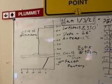
01/03/2021 - 12:30 Snowpack Observation |
Slab Cliffs and Flanks of Relay Mount Rose Area |
     |
Forecaster |
|
01/03/2021 - 11:30 Snowpack Observation |
Ridge line connecting DP and tunnel creek East Shore Area |
   |
Public |
|
01/03/2021 - 11:30 Snowpack Observation |
Castle Peak West Ridge Donner Summit Area |
Public | |
|
01/03/2021 - 11:00 Snowpack Observation |
Castle Valley and W Ridge Donner Summit Area |
Public | |
|
01/02/2021 - 14:00 Snowpack Observation |
Castle Valley Donner Summit Area |
 |
Educator Alpenglow Expeditio |
|
01/02/2021 - 13:15 Avalanche Observation |
Silver Peak to Deep Creek Cabin Creek, Deep Creek, or Pole Creek Area |
 |
Guide International Alpine Guid |
|
01/02/2021 - 13:00 Snowpack Observation |
Meiss Carson Pass Area |
   |
Professional Observer |
|
01/02/2021 - 11:30 Snowpack Observation |
S/SW Aspect of Tamarack Peak Mount Rose Area |
   |
Public |


This website is owned and maintained by the non-profit arm of the Sierra Avalanche Center. Some of the content is updated by the USDA avalanche forecasters including the forecasts and some observational data. The USDA is not responsible for any advertising, fund-raising events/information, or sponsorship information, or other content not related to the forecasts and the data pertaining to the forecasts.