These observations document past conditions at a small and variable scale. They are not to be confused with an avalanche forecast. They come from a variety of sources. We can only vouch for the quality of those produced by the SAC forecasters and professional observers.
Date and time of observation or avalanche occurrence Location Media Observation made by
02/24/2023 - 12:00

Snowpack Observation
Schoolhouse

East Shore Area
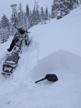
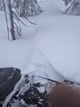
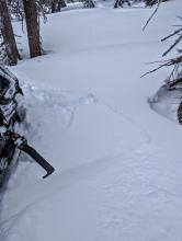
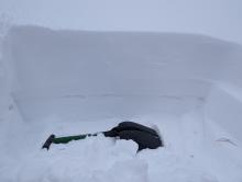
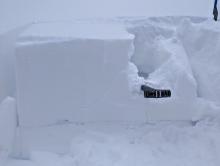
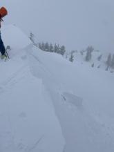
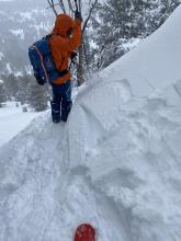
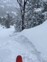
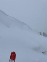
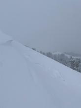
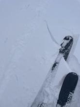
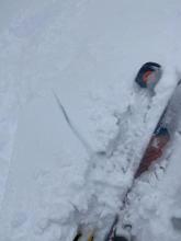
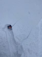
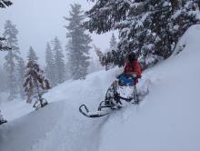
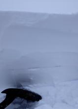
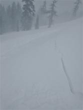
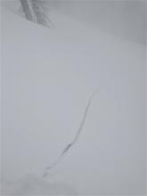
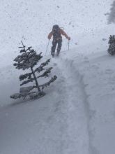
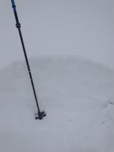
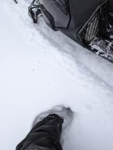
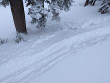
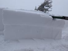
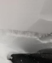
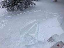
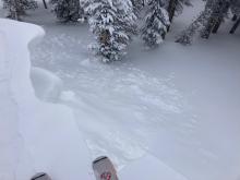
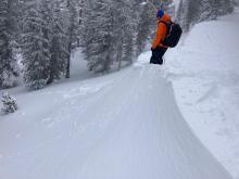
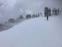
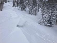
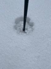
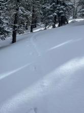
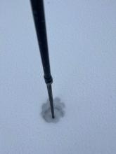
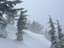
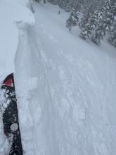
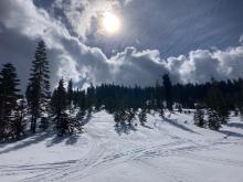
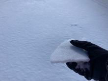
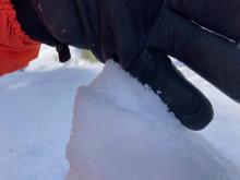
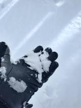
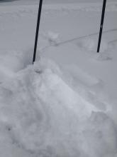
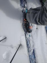
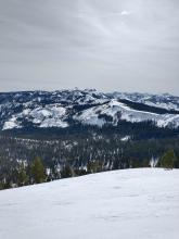
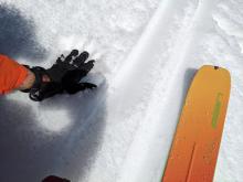
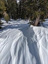
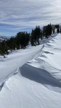
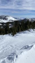
2ft of recent snow at this location. My shovel rests on the old snow surface Cracking observed when we got into wind drifted snow More cracking in wind drifted snow Grey stripe is a thin crust, with facets below it ECTs partially propagated on a crust/facet layer Professional Observer
02/24/2023 - 11:00

Snowpack Observation
Incline Peak

Mount Rose Area
Guide

Tahoe Mountain Scho
02/24/2023 - 07:30

Snowpack Observation
Rubicon Peak

West Shore Area
shooting cracks in one isolated wind slab near the summit 8-16 inches of ski penetration Public
02/23/2023 - 13:30

Snowpack Observation
Jake's Peak

West Shore Area
Approx 20cm+ wind slab cracking with switchback test. Public
02/23/2023 - 13:00

Snowpack Observation
Charity Valley

Carson Pass Area
A rare break in snowfall and wind today Grey stripe of faceted snow just above my shovel. Without a slab above the facets in the areas we traveled today, ECTs did not propagate. Professional Observer
02/23/2023 - 11:45

Avalanche Observation
Silver Peak

Cabin Creek, Deep Creek, or Pole Creek Area
Shooting crack triggered in a wind slab leading to a small avalanche. Shooting crack propagation out the other direction from the trigger point. Snowfall rates at 1 to 1.5 inches per hour. At 11:45 am, around a foot and a half of total storm snow at 7,400' since Feb 21. Forecaster
02/22/2023 - 16:00

Snowpack Observation
Kingsbury

East Shore Area
Due north aspects did not have a crust, and boot pen was calf-deep Test slopes produced very small avalanches somewhere between dry loose and wind slab My first ECT, which I did not isolate below the crust/facet combo, failed within new wind loaded snow Additional ECTs propageted on this crust/facet combo 35cm from the surface Professional Observer
02/22/2023 - 12:00

Snowpack Observation
Incline Lake Peak

Mount Rose Area
Wind slab up to 12'' deep with cracking and propagation from ski kick. Small natural cornice collapse sometime early this morning covered by additional storm snow and wind transport. Wind slab cracking along ridgeline. Strong W winds blowing snow and scouring slopes. Cornice formation with some small natural cornice collapses occurring early morning. Forecaster
02/22/2023 - 11:00

Snowpack Observation
Powderhouse Peak

Luther Pass Area (including Job and Freel)
About 2" of snow at the 7500' start of our tour. In an below tree line opening blowing snow had nearly obscured the existing skin track. About 6" of snow at about 8800'. Strong wind and blowing snow along the ridge. Cracking and failing wind slabs on steep terrain along the ridge. Professional Observer
02/21/2023 - 13:00

Snowpack Observation
Peak 7932'

Yuba Pass Area
Increasing clouds through the morning with snow starting in the early afternoon. Thin breakable crusts on low angle Northerly terrain. Previous buried graupel layer found unreactive in this area. Forecaster
02/20/2023 - 12:35

Snowpack Observation
Jobs Peak

Luther Pass Area (including Job and Freel)
Ample Snow cover in east chutes of Fay Luther Transitional Snow near the top of Main avi path on South Jobs Old large avalanche debris in main path More old debris in main path Guide

Blackbird Mountain Guid
02/20/2023 - 11:00

Snowpack Observation
Mt. Judah

Donner Summit Area
Moist near surface facets (the old snow surface) in shaded NE aspect terrain at around 7,900'. A an area of fairly thin surface melt-freeze with moist, faceted snow below it, unaffected by melt Areas with a thinner surface melt freeze layer were loosing supportability by 11:15 am. Plenty of snow surface melt underway despite the periods of high level cloud cover and moderate NE winds along the ridges. Forecaster
02/19/2023 - 14:00

Snowpack Observation
Deer Park

Five Lakes Area
Guide

Alpenglow Expeditio
02/19/2023 - 10:30

Snowpack Observation
Rose Knob Peak

Mount Rose Area
Supportable wet snow conditions at midday on S aspect terrain. Less melt-freeze established in areas of recently wind drifted snow. ENE aspect terrain, wind scoured and unaffected by melt. Forecaster
02/19/2023 - 10:04

Snowpack Observation
Incline Peak

Mount Rose Area
Public

Pages