In partnership with: 
| Date and time of observation or avalanche occurrence | Location | Media | Observation made by |
|---|---|---|---|
|
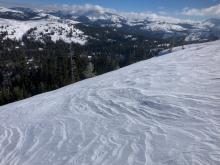
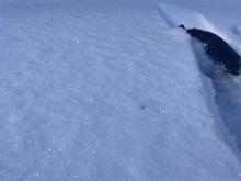
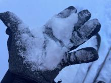
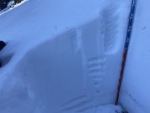
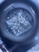
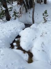
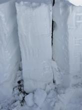
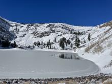
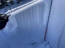
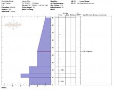
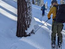
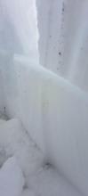
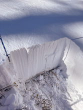
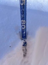
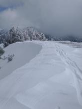
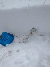
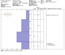
11/15/2022 - 14:00 Snowpack Observation |
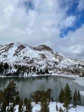
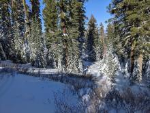
Andesite Peak Donner Summit Area |
    |
Forecaster |
|
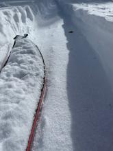
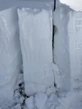
11/15/2022 - 11:45 Snowpack Observation |
Elephant's Hump Carson Pass Area |
 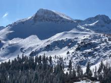   |
Forecaster |
|
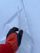
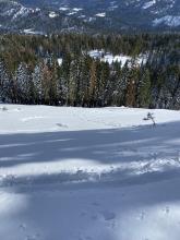
11/15/2022 - 11:30 Snowpack Observation |
Powderhouse peak Luther Pass Area (including Job and Freel) |
        |
Professional Observer |
|
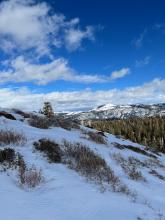
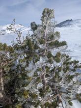
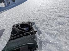
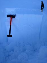
11/14/2022 - 11:00 Snowpack Observation |
Silver Peak Cabin Creek, Deep Creek, or Pole Creek Area |
    |
Forecaster |
|
11/12/2022 - 13:00 Snowpack Observation |
Elephant's Hump Carson Pass Area |
         |
Professional Observer |
|
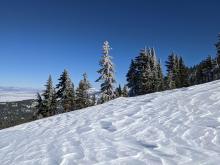
11/11/2022 - 11:58 Snowpack Observation |
Below Judah peak Donner Summit Area |
     |
Public |
|
11/11/2022 - 11:02 Snowpack Observation |
Mt. Judah Donner Summit Area |
  |
Public |
|
11/11/2022 - 10:00 Snowpack Observation |
Meiss Meadow Carson Pass Area |
 |
Public |
|
11/10/2022 - 14:15 Snowpack Observation |
Red Lake Peak Carson Pass Area |
       |
Professional Observer |
|
11/10/2022 - 13:00 Snowpack Observation |
Lincoln Ridge Yuba Pass Area |
      |
Forecaster |
|
11/10/2022 - 12:00 Snowpack Observation |
Rubicon West Shore Area |
Public | |
|
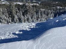
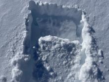
11/10/2022 - 11:37 Avalanche Observation |
Sierra at tahoe Echo Summit Area |
 |
Public |
|
11/10/2022 - 10:00 Snowpack Observation |
Old Iron Mountain ski area Outside of the Forecast Area |
    |
Public |
|
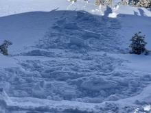
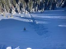
11/09/2022 - 15:15 Avalanche Observation |
Grouse Rock Blackwood Canyon or Ward Canyon Area |
  |
Guide Alpenglow Expeditio |
|
11/09/2022 - 13:00 Snowpack Observation |
East Ridge Tamarack Peak Mount Rose Area |
   |
Forecaster |


This website is owned and maintained by the non-profit arm of the Sierra Avalanche Center. Some of the content is updated by the USDA avalanche forecasters including the forecasts and some observational data. The USDA is not responsible for any advertising, fund-raising events/information, or sponsorship information, or other content not related to the forecasts and the data pertaining to the forecasts.

