In partnership with: 
| Date and time of observation or avalanche occurrence | Location | Media | Observation made by |
|---|---|---|---|
|
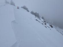
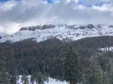
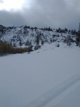
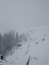
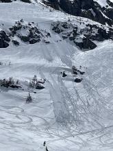
11/09/2022 - 12:00 Avalanche Observation |
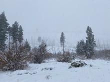
Mt Judah Donner Summit Area |
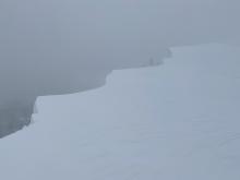    |
Public |
|
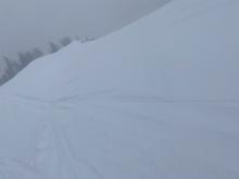
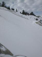
11/09/2022 - 12:00 Avalanche Observation |
Elephant's Back Carson Pass Area |
   |
Educator Lake Tahoe Community College - Wilderness Educati |
|
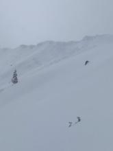
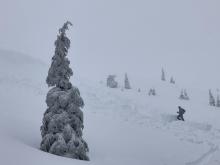
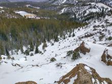
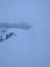
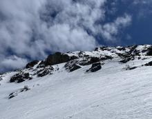
11/09/2022 - 11:23 Avalanche Observation |
Relay Peak Ridgeline Mount Rose Area |
   |
Educator Alpenglow Expeditio |
|
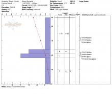
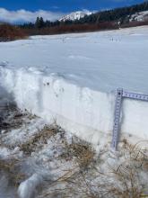
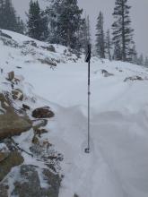
11/09/2022 - 11:00 Snowpack Observation |
Andesite Ridge Donner Summit Area |
Public | |
|
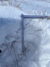
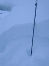
11/09/2022 - 11:00 Snowpack Observation |
Rowton Peak Donner Summit Area |
Public | |
|
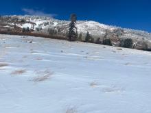
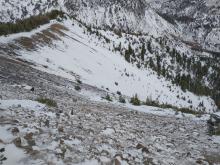
11/09/2022 - 08:00 Avalanche Observation |
Grouse Rock Blackwood Canyon or Ward Canyon Area |
 |
Public |
|
11/08/2022 - 14:00 Snowpack Observation |
Burnt Glades Echo Summit Area |
    |
Public |
|
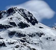
11/08/2022 - 12:00 Snowpack Observation |
Castle Peak Donner Summit Area |
    |
Forecaster |
|
11/07/2022 - 13:00 Snowpack Observation |
Andesite Ridge Donner Summit Area |
     |
Forecaster |
|
11/07/2022 - 10:44 Snowpack Observation |
Mount Rose Meadows Mount Rose Area |
   |
Educator Alpenglow Expeditio |
|
11/04/2022 - 11:00 Snowpack Observation |
Tamarack Peak Mount Rose Area |
    |
Forecaster |
|
11/02/2022 - 10:35 Snowpack Observation |
Mt. Judah/Wildflower Ridge Donner Summit Area |
       |
Forecaster |
|
05/10/2022 - 11:00 Snowpack Observation |
Elephant's Hump Carson Pass Area |
 |
Public |
|
05/07/2022 - 12:00 Avalanche Observation |
Alpine/Keyhole Area West Shore Area |
Public | |
|
04/30/2022 - 14:15 Avalanche Observation |
Round top Carson Pass Area |
   |
Public |


This website is owned and maintained by the non-profit arm of the Sierra Avalanche Center. Some of the content is updated by the USDA avalanche forecasters including the forecasts and some observational data. The USDA is not responsible for any advertising, fund-raising events/information, or sponsorship information, or other content not related to the forecasts and the data pertaining to the forecasts.

