In partnership with: 
| Date and time of observation or avalanche occurrence | Location | Media | Observation made by |
|---|---|---|---|
|
04/17/2022 - 10:30 Snowpack Observation |
Andesite Peak Donner Summit Area |
    |
Forecaster |
|
04/17/2022 - 10:00 Snowpack Observation |
Incline Lake Peak Mount Rose Area |
 |
Public |
|
04/16/2022 - 13:30 Snowpack Observation |
Powderhouse Peak Luther Pass Area (including Job and Freel) |
      |
Professional Observer |
|
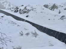
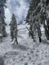
04/16/2022 - 12:00 Avalanche Observation |
Donner Peak Donner Summit Area |
  |
Forecaster |
|
04/16/2022 - 12:00 Avalanche Observation |
Snow Shed Donner Summit Area |
     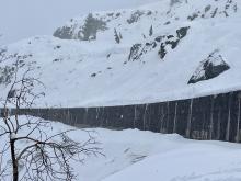  |
Public |
|
04/16/2022 - 11:00 Snowpack Observation |
Grouse Rock Blackwood Canyon or Ward Canyon Area |
   |
Forecaster |
|
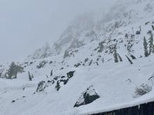
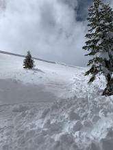
04/15/2022 - 13:30 Avalanche Observation |
Donner Peak Donner Summit Area |
 |
Forecaster |
|
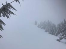
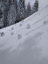
04/15/2022 - 13:15 Avalanche Observation |
Andesite Peak Donner Summit Area |
    |
Public |
|
04/15/2022 - 12:00 Snowpack Observation |
Castle Peak & Andesite Peak Donner Summit Area |
    |
Forecaster |
|
04/14/2022 - 13:00 Snowpack Observation |
Elephant's Back Carson Pass Area |
|
Professional Observer |
|
04/14/2022 - 10:35 Snowpack Observation |
Northeast flank of Mt. Judah Donner Summit Area |
  |
Public |
|
04/13/2022 - 14:00 Snowpack Observation |
Rubicon West Shore Area |
Public | |
|
04/13/2022 - 12:30 Snowpack Observation |
Tamarack Peak Mount Rose Area |
    |
Forecaster |
|
04/12/2022 - 16:00 Snowpack Observation |
The Nipple Carson Pass Area |
   |
Professional Observer |
|
04/12/2022 - 11:33 Snowpack Observation |
Round Top Carson Pass Area |
       |
Professional Observer |


This website is owned and maintained by the non-profit arm of the Sierra Avalanche Center. Some of the content is updated by the USDA avalanche forecasters including the forecasts and some observational data. The USDA is not responsible for any advertising, fund-raising events/information, or sponsorship information, or other content not related to the forecasts and the data pertaining to the forecasts.