These observations document past conditions at a small and variable scale. They are not to be confused with an avalanche forecast. They come from a variety of sources. We can only vouch for the quality of those produced by the SAC forecasters and professional observers.
Date and time of observation or avalanche occurrence Location Media Observation made by
02/28/2022 - 12:30

Snowpack Observation
Outside Heavenly Resort Boundary

Carson Pass Area
Public
02/28/2022 - 11:30

Snowpack Observation
Talking Mountain

Echo Summit Area
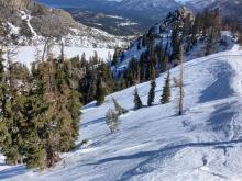
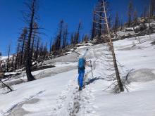
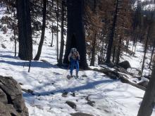
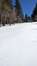
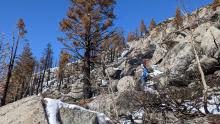
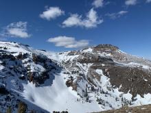
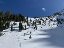
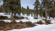
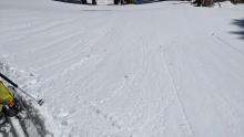
Cold unconsolidated snow still existed on shaded north aspects. Some wind scouring from previous NE winds Large sections of ridge route on south aspects burnt off. Burnt trees and melting snow Runnels in the snow surface indicating melt water drainage. Many areas on the S-facing side of the ridge were completely free of snow. Thin melt freeze crust on sunny aspects. This crust melted away quickly as the day warmed up. Forecaster
02/27/2022 - 19:45

Snowpack Observation
Ebbets Pass

Ebbetts Pass Area
Public
02/27/2022 - 13:30

Snowpack Observation
Red Lake Peak

Carson Pass Area
Educator

Lake Tahoe Community College - Wilderness Educati
02/27/2022 - 12:00

Snowpack Observation
Slab Cliffs

Mount Rose Area
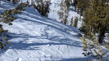
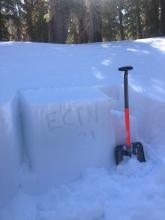
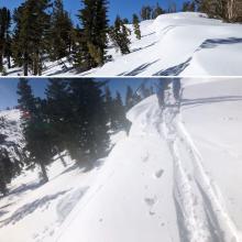
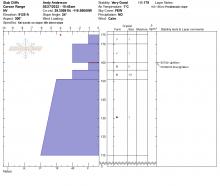
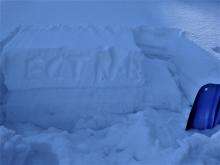
Pinwheels up to 2 ft in diameter on an SE aspect at 9600 ft. Small roller balls that occurred near rocks on a SE aspect sometime between 9am and noon. NE wind scoured surfaces on a NE facing slope near a ridge at 9600 ft. ECTN looking at the recent snow above the old facets on a NW aspect at 9100 ft. Fragile cornice above a E-SE aspect near the ridge. It broke easily when I kicked it but did not produce any cracking in the slope below. Forecaster
02/27/2022 - 10:00

Snowpack Observation
Castle Peak

Donner Summit Area
Public
02/26/2022 - 14:12

Snowpack Observation
Ebbetts Pass

Ebbetts Pass Area
Public
02/26/2022 - 13:00

Snowpack Observation
Carpenter Ridge

Independence Lake Area
ECTN on a NNE facing slope at 8200 ft where we felt an isolated and small collapse. Wet snow and a sun crust on a W aspect @ 7380 ft. Boot-top deep soft snow along Carpenter Ridge. If the winds get strong enough this snow could get blown around. Areas of bare ground melting out on sunny slopes below 7000 ft. Forecaster
02/26/2022 - 12:20

Snowpack Observation
Rubicon Peak

West Shore Area
Public
02/25/2022 - 23:18

Snowpack Observation
Tallac

Desolation Wilderness Area (including Emerald Bay)
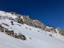
Looking up at the SE facing cliffs boring north bowl on Tallac. There was minimal evidence of previous wet loose activity below. Looking at the SE facing part of the Corkscrew slide path and it had virtually no previous wet loose activity. Minimal evidence of wind effect below ridges. Ample evidence of wind effect on ridges. Looking up towards the SE cliffs at noon and there was still very little evidence of wet loose activity. Professional Observer
02/25/2022 - 12:30

Snowpack Observation
Deep Creek

Cabin Creek, Deep Creek, or Pole Creek Area
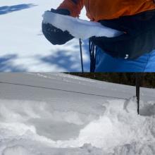
Thin frozen sun crust in the shade of a tree on a SE aspect @ 7800 ft in the top photo and soft moist snow above cold dry snow in a sunny spot on the same slope. 3 of 7 test pits at various locations between 6300 ft and 8200 ft on N and NE aspects. See text for details. Cornice pieces dropped on a small wind-loaded test slope. They did not trigger any cracks or signs of wind slab instability. Recent sluffs of cold dry snow on steep terrain. Tiny roller-balls were the only signs of wet snow on sunny slopes. Forecaster
02/25/2022 - 12:00

Snowpack Observation
Blue Lakes

Carson Pass Area
Public
02/25/2022 - 10:15

Snowpack Observation
Polaris Point

Blackwood Canyon or Ward Canyon Area
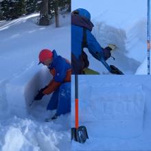
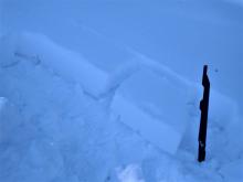
F to 4F+ hard slab over 1 cm 1F- mf crust on top of F hard old near surface facets. ECTN-13 on top of facet layer. PST 25/100 SF along the top of the old near surface facet layer. Forecaster
02/24/2022 - 14:00

Snowpack Observation
Andesite

Donner Summit Area
Snow observation demonstration for A1 students Educator

West Wind Collecti
02/24/2022 - 13:30

Snowpack Observation
Silver Peak

Cabin Creek, Deep Creek, or Pole Creek Area
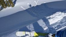
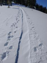
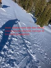
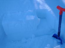
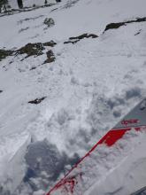
Ridgetop skin track refill after about 1 hr. Only a 3 inch thick wind slab that did not extend more than a few feet downhill, but had 30 foot wide propagation. Triggered from a ski cut. Recent storm snow over facets. ECTN-14. bottom of slab 4F+ hard, facets F+ hard with a 1.5 to 2 cm thick 1 F hard crust in between the two. Shaded N aspect at 7,600'. Small roller balls and pinwheels on SE aspect terrain at around 7,800. Forecaster

Pages