In partnership with: 
| Date and time of observation or avalanche occurrence | Location | Media | Observation made by |
|---|---|---|---|
|
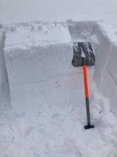
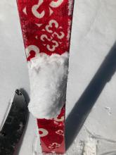
03/16/2022 - 11:00 Snowpack Observation |
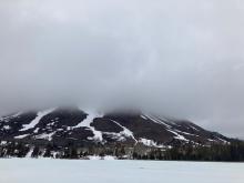
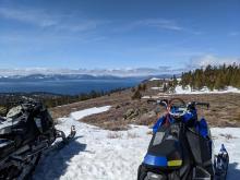
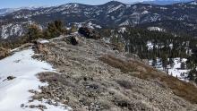
Flagpole Echo Summit Area |
    |
Professional Observer |
|
03/16/2022 - 10:15 Snowpack Observation |
Waterhouse Peak Luther Pass Area (including Job and Freel) |
    |
Forecaster |
|
03/15/2022 - 13:05 Snowpack Observation |
Elephant's Hump Carson Pass Area |
      |
Professional Observer |
|
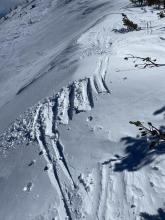
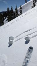
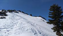
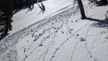
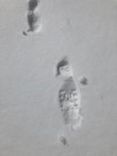
03/15/2022 - 12:30 Avalanche Observation |
Becker Peak Echo Summit Area |
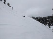    |
Public |
|
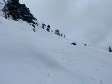
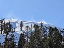
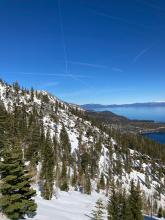
03/15/2022 - 11:00 Avalanche Observation |
Polaris Point and Stanford Rock Blackwood Canyon or Ward Canyon Area |
    |
Forecaster |
|
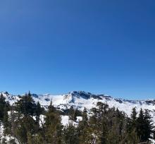
03/14/2022 - 12:00 Snowpack Observation |
Mt. Judah Donner Summit Area |
    |
Forecaster |
|
03/14/2022 - 12:00 Snowpack Observation |
Rubicon Peak Desolation Wilderness Area (including Emerald Bay) |
  |
Public |
|
03/13/2022 - 12:00 Snowpack Observation |
Genoa Peak East Shore Area |
   |
Professional Observer |
|
03/13/2022 - 12:00 Snowpack Observation |
Andesite Ridge / Castle Peak Donner Summit Area |
     |
Forecaster |
|
03/13/2022 - 09:12 Snowpack Observation |
Tamarack Mount Rose Area |
   |
Public |
|
03/12/2022 - 14:00 Snowpack Observation |
The Nipple Carson Pass Area |
     |
Professional Observer |
|
03/12/2022 - 12:00 Snowpack Observation |
Relay and Tamarack Mount Rose Area |
      |
Forecaster |
|
03/11/2022 - 12:00 Snowpack Observation |
Silver Peak Cabin Creek, Deep Creek, or Pole Creek Area |
    |
Forecaster |
|
03/11/2022 - 12:00 Snowpack Observation |
Mt. Tallac Desolation Wilderness Area (including Emerald Bay) |
     |
Professional Observer |
|
03/11/2022 - 10:45 Snowpack Observation |
Dogleg Couloir-Maggies Desolation Wilderness Area (including Emerald Bay) |
Public |


This website is owned and maintained by the non-profit arm of the Sierra Avalanche Center. Some of the content is updated by the USDA avalanche forecasters including the forecasts and some observational data. The USDA is not responsible for any advertising, fund-raising events/information, or sponsorship information, or other content not related to the forecasts and the data pertaining to the forecasts.

