In partnership with: 
| Date and time of observation or avalanche occurrence | Location | Media | Observation made by |
|---|---|---|---|
|
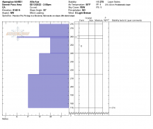
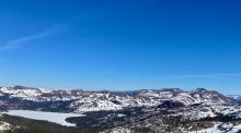
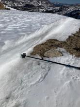
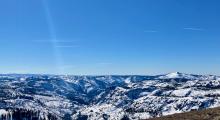
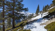
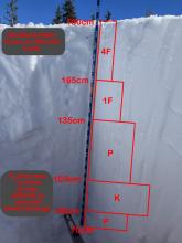
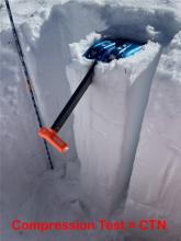
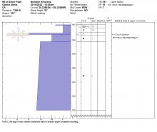
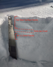
02/14/2022 - 12:00 Snowpack Observation |
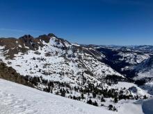
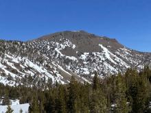
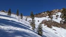
Red Lake Peak Carson Pass Area |
    |
Professional Observer |
|
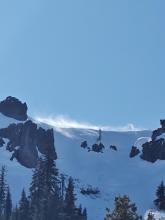
02/14/2022 - 11:00 Snowpack Observation |
Mt, Judah Donner Summit Area |
    |
Forecaster |
|
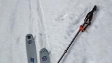
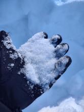
02/13/2022 - 14:00 Snowpack Observation |
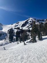
Judah Peak Donner Summit Area |
 |
Guide Alpenglow Expeditio |
|
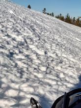
02/13/2022 - 12:00 Snowpack Observation |
Fourth of July Lake Carson Pass Area |
       |
Professional Observer |
|
02/13/2022 - 12:00 Snowpack Observation |
Mount Houghton Mount Rose Area |
     |
Public |
|
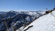
02/12/2022 - 12:23 Snowpack Observation |
Mount Tallac Desolation Wilderness Area (including Emerald Bay) |
    |
Public |
|
02/12/2022 - 11:00 Snowpack Observation |
Jakes Peak West Shore Area |
    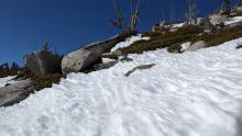 |
Forecaster |
|
02/11/2022 - 13:30 Snowpack Observation |
Iron Mountain Outside of the Forecast Area |
   |
Public |
|
02/11/2022 - 13:05 Snowpack Observation |
Pickett Peak Luther Pass Area (including Job and Freel) |
     |
Professional Observer |
|
02/11/2022 - 12:00 Snowpack Observation |
Stevens Peak Carson Pass Area |
     |
Forecaster |
|
02/10/2022 - 12:29 Snowpack Observation |
Echo Peak Echo Summit Area |
     |
Professional Observer |
|
02/10/2022 - 11:50 Snowpack Observation |
Silver Peak Cabin Creek, Deep Creek, or Pole Creek Area |
   |
Forecaster |
|
02/09/2022 - 13:15 Snowpack Observation |
Bear Valley Little Truckee Summit Areas |
     |
Educator West Wind Collecti |
|
02/09/2022 - 12:00 Snowpack Observation |
Red Lake Peak Carson Pass Area |
   |
Professional Observer |
|
02/09/2022 - 12:00 Snowpack Observation |
Castle Valley Donner Summit Area |
Guide International Alpine Guid |


This website is owned and maintained by the non-profit arm of the Sierra Avalanche Center. Some of the content is updated by the USDA avalanche forecasters including the forecasts and some observational data. The USDA is not responsible for any advertising, fund-raising events/information, or sponsorship information, or other content not related to the forecasts and the data pertaining to the forecasts.