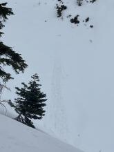
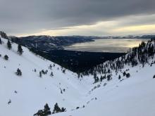
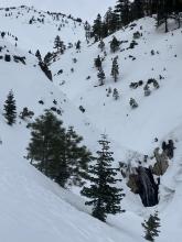
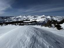
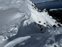
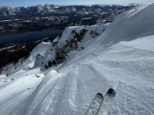
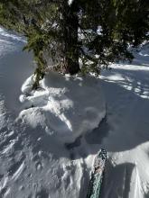
These observations document past conditions at a small and variable scale. They are not to be confused with an avalanche forecast. They come from a variety of sources. We can only vouch for the quality of those produced by the SAC forecasters and professional observers.

Date and time of observation or avalanche occurrence Location Snowpack, Avalanche, Weather Images Observation made by
02/04/2023 - 14:30

Avalanche Observation
Andesite- summit ridge

Donner Summit Area
Guide

Outdoor Adventure Club
02/04/2023 - 14:00

Snowpack Observation
Deep Creek

Donner Summit Area
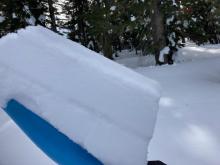
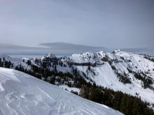
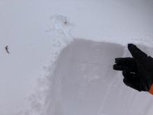
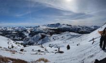
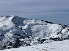
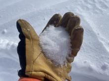
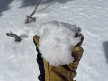
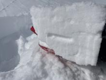
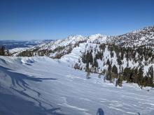
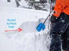
Multiple tilt tests showed no failures in upper snowpack. Buried surface hoar 2-4'' below surface.  Not showing to be reactive at mulitple locations. Very, very small cornice failure during the wind event today. Increasing clouds and winds looking west at the Sierra Crest. Guide

Tahoe Mountain School
02/04/2023 - 10:00

Snowpack Observation
Yuba Pass

Yuba Pass Area
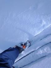
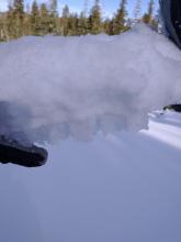
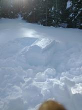
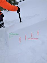
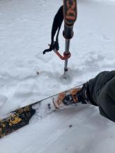
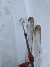
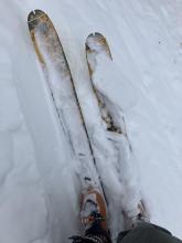
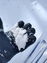
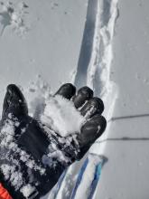
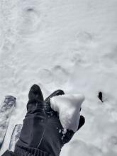
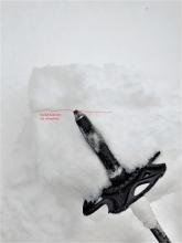
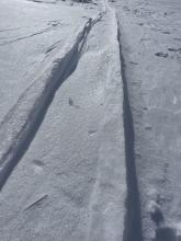
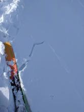
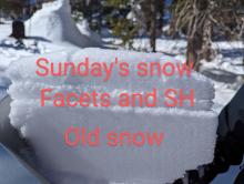
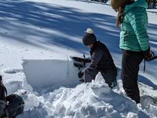
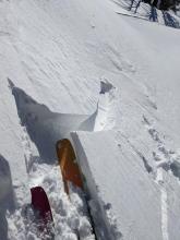
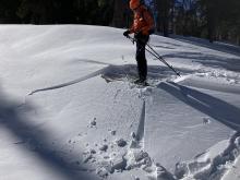
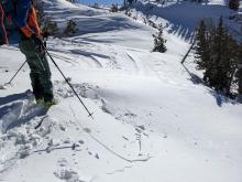
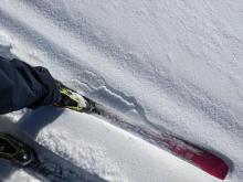
Cracking around skis while breaking trail. The longest cracks were 4 feet long. Large 25-30 mm SH under a surface slab. Jan 29 SH layer down about 12 cm PST 18/100 SF on Jan 29 SH layer, 4F hard slab over 25-30mm SH. 10 cm artificial slab added to the snow surface We left the artificial slab to sinter while we went and made other obs. When we returned to test the sample, someone had found it and their curiosity had lead them to damage it. Forecaster
02/03/2023 - 14:00

Snowpack Observation
Pacific Valley

Bear Valley Area
Public
02/03/2023 - 11:45

Snowpack Observation
Silver Peak

Cabin Creek, Deep Creek, or Pole Creek Area
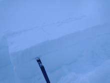
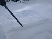
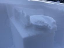
Blowing and drifting snow depositing onto N aspect terrain. The Jan 29 buried surface hoar layer at noted lat/long (N aspect, 7,540'). Experimental PST with artificially created slab added above the snow surface. Forecaster
02/02/2023 - 16:00

Snowpack Observation
Near Jennifer Trail 7600’ Adjacent to Incline Peak SW Drainage

Mount Rose Area
Public
02/02/2023 - 12:00

Snowpack Observation
Mt Ralston

Echo Summit Area
Public
02/02/2023 - 12:00

Snowpack Observation
Stoney Ridge

West Shore Area
N aspect in the shade = moist surface snow. N aspect in the sun = moist to wet surface snow. E aspect in the sun = wet surface snow. 8 to 10 mm buried SH on N aspect at 7,000'. Unreactive in shovel tilt/tap tests. Forecaster
02/02/2023 - 10:25

Snowpack Observation
Intense wind distribution on Carson Pass.

Carson Pass Area
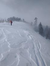
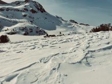
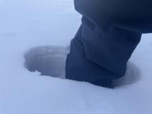
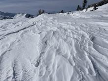
Looking up at Round Top from Winnemucca Lake. Elevated ghost tracks from recent winds. 30cm boot pen of near surface facets on west aspect. Buried surface hoar under 4" of snow. Compression test results on buried surface hoar. Breaking through 4" wind slabs in above treeline terrain.. Wind sculpting in above treeline terrain. Professional Observer
02/01/2023 - 12:00

Snowpack Observation
Red Lake Peak Cracks only spread a few feet from my skis, and had small facets under them We dug profiles and found facets below the surface but no slab above them Evidence of recent shifting winds No wind transport observed today Professional Observer
02/01/2023 - 11:55

Snowpack Observation
Cold and wet snow on Echo peak

Echo Summit Area
Big overhanging cornices across the ridgeline. Scoured ridgeline at the summit. A completely scoured Mt. Ralston. Dry near surface facets on shaded aspects. Wet clumpy snow on solar aspects below 7500'. No results on shovel tilt on E aspect@ 8800' Hard supportable crust on E aspect @ 8800'. Natural dry loose snow off of rocks overhead. Professional Observer
02/01/2023 - 11:30

Snowpack Observation
Deep Creek Peak

Cabin Creek, Deep Creek, or Pole Creek Area
N aspect with some NE wind protection. Buried surface hoar at lower elevations up to 10mm in size. Small wind slab cracking on N aspects from recent E wind loading. Ridgelines were a mix of some soft and firm snow surfaces.  Some future snow available for wind transport as SW wind increase Thursday night. View N on the Sierra Crest. Forecaster
02/01/2023 - 10:00

Snowpack Observation
Tallac

Desolation Wilderness Area (including Emerald Bay)
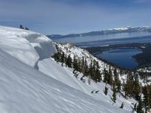
Looking out across Desolation Wilderness. Extensive scouring visible. Large overhanging cornice at the top of the Cross Couloir. Estimated to be overhanging by 10+ feet. Skiers left Cross entrance Extensive settlement Public
01/31/2023 - 12:00

Snowpack Observation
Incline Lake Peak

Mount Rose Area
Widespread wind scouring in near and above treeline areas. Hard wind slab up to 8'' deep.  These did not extend very far downslope and were only reactive when the underside of slab was cut. Small reactive wind slab in BTL terrain. Small cracking on wind slab features from previous NE wind loading. Refrozen hard tree bombs around and under treed areas. Forecaster
01/31/2023 - 12:00

Snowpack Observation
Elephant's Hump

Carson Pass Area
Not much snow from Sunday in this area Multiple snowpack tests failed to indicate instability Freel and Job's Sister in the distance with no wind transport observed Markleeville Peak, The Nipple, and Forestdale with no wind transport observed Professional Observer
01/30/2023 - 12:00

Snowpack Observation
Silver Peak

Cabin Creek, Deep Creek, or Pole Creek Area
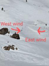
Small wind slab failure on a NW facing aspect near treeline on Silver Peak. E winds blowing snow across the Silver Peak ridgeline. Wind scoured and sculpted surfaces on wind exposed slopes near the top of Silver Peak. Cornices on both sides of the ridge indicating changing wind directions. Wind scoured and sculpted surfaces along the ridge on Silver Peak. Minor cracking around my skis as the buried surface hoar failed under the soft new snow. Sluffs of unconsolidated fresh snow sliding on top of surface hoar in below treeline terrain on a steep N facing test slope on Silver Peak. Forecaster
01/30/2023 - 11:38

Snowpack Observation
Cold wintery day on Jake's Peak

Desolation Wilderness Area (including Emerald Bay)
Large banners of snow off of Dick's peak. Large surface hoar below treeline on non exposed areas. Wind effected snow near treeline just below the summit. 1 to 4 inches of new snow from trailhead to summit. Dry near surface facets under new snow. Professional Observer
01/29/2023 - 15:00

Snowpack Observation
Charity Valley

Carson Pass Area
Old snow under the new was still quite soft and even with only 4-6" of new snow the riding was excellent Buried surface hoar An ECT with partial propagation, just lacking more of a slab Professional Observer
01/29/2023 - 13:15

Avalanche Observation
Southeast of Webber Lake

Little Truckee Summit Areas
Public
01/29/2023 - 12:00

Snowpack Observation
Lincoln Ridge

Yuba Pass Area
Surface hoar buried under 10 to 12 inches of cold, soft, and light wind-blown snow near Lincoln Ridge. Buried surface hoar was easy to identify in hand pits. Ski kicks triggered some cracking in wind-blown areas and in sheltered areas where buried surface hoar existed. Small cornices built by NE winds on W and SW aspects. Small slab failure on a steep test slope. Loose dry sluff of new snow on top of surface hoar. Forecaster

Pages