These observations document past conditions at a small and variable scale. They are not to be confused with an avalanche forecast. They come from a variety of sources. We can only vouch for the quality of those produced by the SAC forecasters and professional observers.

Date and time of observation or avalanche occurrence Location Snowpack, Avalanche, Weather Images Observation made by
12/31/2022 - 21:33

Avalanche Observation
Mount Tallac

Desolation Wilderness Area (including Emerald Bay)
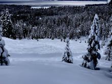
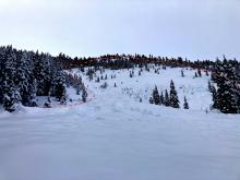
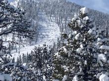
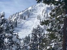
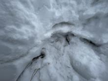
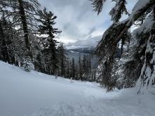
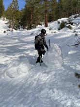
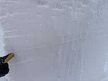
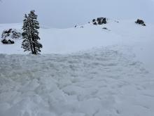
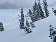
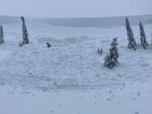
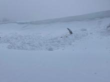
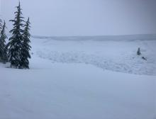
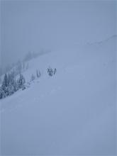
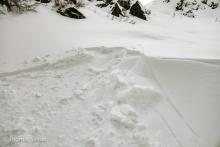
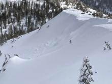
Looking at avalanche debris. Easily 10-15' deep in spots Looking up slide path. Public
12/31/2022 - 15:45

Avalanche Observation
Rubicon peak

West Shore Area
Public
12/31/2022 - 15:00

Snowpack Observation
Powderhouse Peak

Luther Pass Area (including Job and Freel)
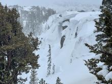
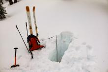
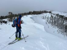
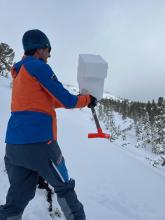
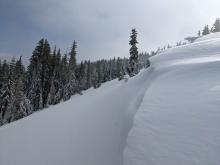
Just a few inches of powder over wet snow near at 7700 feet at 2:30pm Water was visible at the outlet to Grass Lake New snow depths increased dramatically as elevation was gained. The wind features on low angle terrain near the summit were touchy and failed around two feet deep. Looking at the depth of the broken cornice near the summit. Professional Observer
12/31/2022 - 14:00

Avalanche Observation
Highway Patrol Chutes

Cabin Creek, Deep Creek, or Pole Creek Area
Public
12/31/2022 - 13:31

Snowpack Observation
Andesite

Donner Summit Area
Guide

Alpenglow Expeditions
12/31/2022 - 12:00

Avalanche Observation
Andesite Peak

Donner Summit Area
Forecaster
12/31/2022 - 11:00

Snowpack Observation
Hidden Peak

West Shore Area
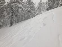
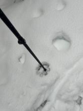
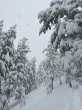
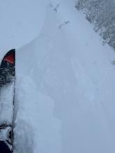
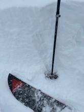
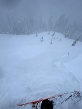
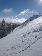
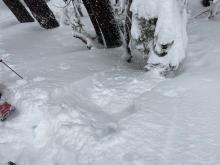
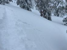
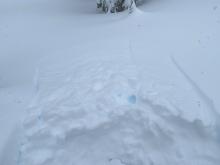
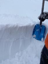
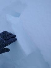
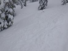
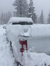
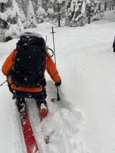
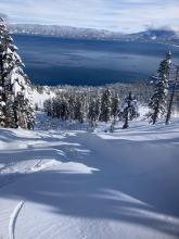
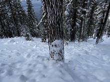
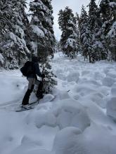
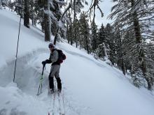
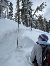
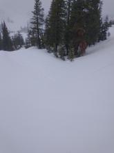
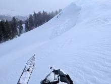
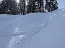
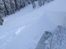
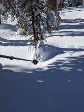
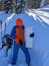
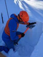
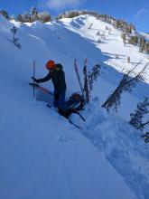
Sluff in new storm snow near 7,000' Skinning was producing cracks in storm snow More sluff initiation.  ~30cm down storm snow instability caused by needle crystals. Storm snow cracks A ski turn on a convexity resulting in the fracturing of this test slope ~20cm of fresh snow at the trailhead during a 3 hour period. Public
12/31/2022 - 06:00

Avalanche Observation
Jakes Peak

West Shore Area
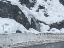
Walls carved out from wet snow avalanche mostly covered by additional storm snow. Forecaster
12/31/2022 - 06:00

Avalanche Observation
Herlan Peak

East Shore Area
Looking downhill. Deposition on trees and evidence of a large powder cloud continued for a few hundred feet. Facets (wet) at the ground with a stout crust overlaying them. The failure plane appeared to be the facets below the crust. Large roller balls Public
12/30/2022 - 10:11

Snowpack Observation
N. Carson Pass

Carson Pass Area
ECTP21 on buried surface hoar @ 50cm down. Wet loose debris pile from last couple of days. Over-hanging cornice development near tree line. Also a small wet loose debris pile at the bottom of cornice from today. Rain line above 9000' on Red Lake peak. Cornice development on NE aspect above 9000'. Professional Observer
12/30/2022 - 06:00

Avalanche Observation
Mt. Judah

Donner Summit Area
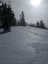
Natural avalanche, cornice fall triggered, Wildflower Ridge, NE aspect at 7,800'. Natural avalanche, cornice fall triggered, Wildflower Ridge, NE aspect at 7,800'. Natural avalanche, cornice fall triggered, Wildflower Ridge, NE aspect at 7,800'. Natural avalanche, cornice fall triggered, Wildflower Ridge, NE aspect at 7,800'. Older wind slab avalanche on the E face of Mt. Judah, likely from 12/29. Creeks flowing, Donner Pass at 6,600'. Rain runnels starting to show on the snow surface. N aspect terrain at about 7,300'. Forecaster
12/29/2022 - 12:58

Snowpack Observation
Donner Peak, NE aspect @ 7,200'

Donner Summit Area
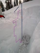
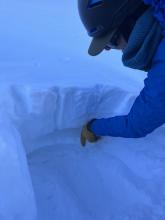
Pit layers drawn Surface snow is not bonding well to rain crust below, difficult skinning. Quick pit to check layering on N aspect, look for basal facets. Guide

Blackbird Mountain Guides
12/29/2022 - 12:00

Snowpack Observation
Blue Lakes

Carson Pass Area
A very small, natural trigger wind slab avalanche along the Border Ruffian ridgeline Wind transport patterns on the snow surface, even in the trees well below ridgeline Professional Observer
12/29/2022 - 11:30

Snowpack Observation
East Ridge of Tamarack Peak

Mount Rose Area
Minor cracking in wind loaded terrain with little to no propagation. Large overhung cornices along the Far East Ridge of Tamarack Peak Previous cornice collapses and wind slab avalanches covered up by this recent storm snow. Testing the shallow wind slabs with a tilt test. Forecaster
12/29/2022 - 11:00

Snowpack Observation
Tamarack

Mount Rose Area
Public
12/29/2022 - 11:00

Avalanche Observation
Lincoln Ridge

Yuba Pass Area
Successful intentional trigger of a wind slab avalanche on a small test slope. Wind slab on test slope with slab up to 1 foot thick. Natural wind slab avalanche from earlier this morning. Blocky hard slab debris not very visible in this photo. Cornice hazard kept us from getting a better look at this avalanche. Today's wind slab density change (harder over softer) was easy to find in hand pits. Impressive cornice overhang looming further up the ridge, Above about 7,300', depth of recent storm snow on top of the rain crust began increasing. Rain crust exposed by wind scouring on the ridgetop. Forecaster
12/28/2022 - 15:15

Snowpack Observation
Castle Peak S aspect @ 8,200'

Donner Summit Area
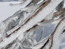
Heavy ice and riming on branches at 8,200' Guide

Blackbird Mountain Guides
12/28/2022 - 14:00

Snowpack Observation
Rubicon

West Shore Area
Guide

Tahoe Mountain School
12/28/2022 - 13:00

Snowpack Observation
Tamarack Peak

Mount Rose Area
Rain/Snow line was clearly visible at 7000 to 7200 ft on the drive over to Tamarack. Settlement cones had already started to form around trees indicating settlement and consolidation in the storm snow. The shovel tilt test did reveal a break at the base of the storm snow, but we did not see any buried surface hoar at that break. In addition to our general observations, ECT's and Compression tests did not show any signs of lingering instability in sheltered areas. Snowpit data and general observations taken near a natural avalanche that failed on 12/27 also did not show any signs of lingering instability in wind-loaded terrain. Forecaster
12/28/2022 - 11:55

Avalanche Observation
Hidden Peak

Desolation Wilderness Area (including Emerald Bay)
Public

Pages