In partnership with: 
| Date and time of observation or avalanche occurrence | Location | Media | Observation made by |
|---|---|---|---|
|
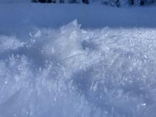
12/21/2022 - 11:36 Snowpack Observation |
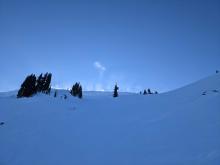
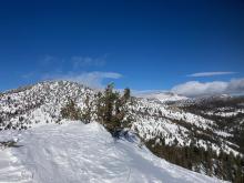
Red Lake Peak Carson Pass Area |
      |
Professional Observer |
|
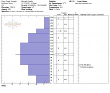
12/21/2022 - 11:00 Snowpack Observation |
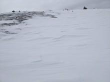
Silver Peak Cabin Creek, Deep Creek, or Pole Creek Area |
   |
Forecaster |
|
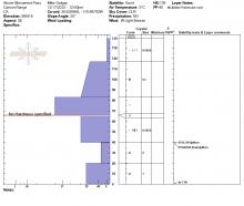
12/20/2022 - 14:14 Snowpack Observation |
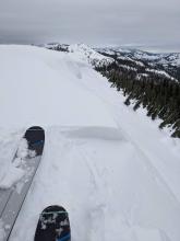
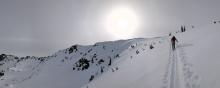
Shirley Canyon Cabin Creek, Deep Creek, or Pole Creek Area |
  |
Educator Alpenglow Expeditio |
|
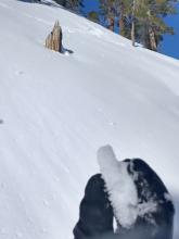
12/20/2022 - 12:00 Snowpack Observation |
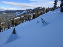
Sierra Crest between Lincoln and Anderson Donner Summit Area |
       |
Forecaster |
|
12/20/2022 - 12:00 Snowpack Observation |
Incline Lake Peak Mount Rose Area |
    |
Forecaster |
|
12/19/2022 - 12:00 Snowpack Observation |
Janine Peak (Peak 9579') Desolation Wilderness Area (including Emerald Bay) |
  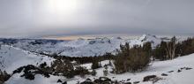  |
Forecaster |
|
12/18/2022 - 11:00 Snowpack Observation |
Hidden Peak West Shore Area |
    |
Forecaster |
|
12/18/2022 - 10:00 Snowpack Observation |
Fulstone Canyon Luther Pass Area (including Job and Freel) |
 |
Public |
|
12/17/2022 - 23:00 Snowpack Observation |
Carpenter Ridge Independence Lake Area |
    |
Public |
|
12/17/2022 - 14:00 Snowpack Observation |
Deep Creek Cabin Creek, Deep Creek, or Pole Creek Area |
     |
Guide Alpenglow Expeditio |
|
12/17/2022 - 12:00 Snowpack Observation |
Above Monument Pass Luther Pass Area (including Job and Freel) |
 |
Public |
|
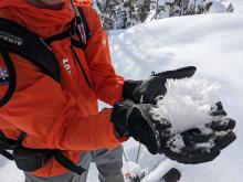
12/16/2022 - 13:04 Snowpack Observation |
Castle Peak Donner Summit Area |
Guide | |
|
12/16/2022 - 12:00 Snowpack Observation |
Echo Peak Echo Summit Area |
    |
Forecaster |
|
12/15/2022 - 14:00 Snowpack Observation |
Peak 9200 Mount Rose Area |
Public | |
|
12/15/2022 - 13:00 Snowpack Observation |
Castle Peak Donner Summit Area |
   |
Forecaster |


This website is owned and maintained by the non-profit arm of the Sierra Avalanche Center. Some of the content is updated by the USDA avalanche forecasters including the forecasts and some observational data. The USDA is not responsible for any advertising, fund-raising events/information, or sponsorship information, or other content not related to the forecasts and the data pertaining to the forecasts.

